by Brian Kenny | Jul 5, 2019 | Kerry
July 2012
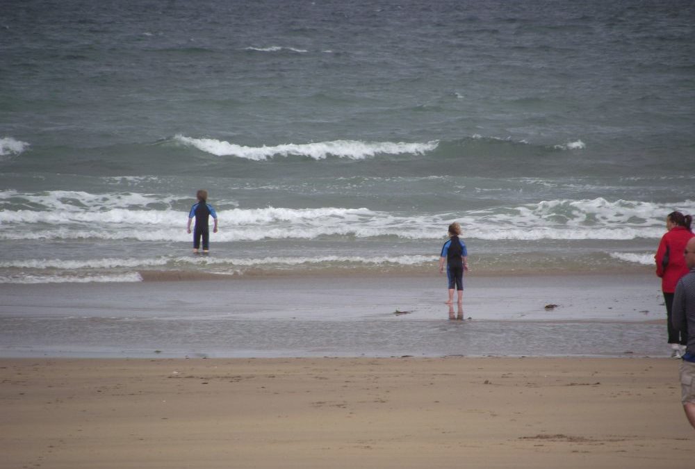
The coast road from Castlegregory to Brandon runs alongside a long stretch of beach with at least 3 access points – Stradbally, Kilcummin and Fermoyle. We chose Fermoyle which is a wide expanse of open beach with little or no shelter.
When we were there the tide was out and there was lots of room for walking and playing. Bring your windbreak if you are planning to stay for a while. There was a gradual wade in and it was nice and sandy underfoot. The water was a bit wavy, but nice for swimming.
This is a good place for families to come on a sunny day. The car park has space for about 15 cars and you can also drive onto the beach if your car is up to it.
Directions
From Tralee take the N86 toward Dingle and then branch off onto the R560 toward Castlegregory. You bypass Castlegregory and after you go through Stradbally and Kilcummin you then take a right turn onto the R550 toward Cloghane and Brandon Point. Shortly after this turn you will come to a right turn signposted for the beach.
View Larger Map
Map No. 70


by Brian Kenny | Jul 5, 2019 | Kerry
July 2012
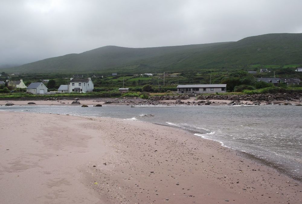
Ballyquin is a small, attractive beach across the bay from Brandon pier. The beach is quite exposed and the water was choppy when we were there. You are out of your depth quickly so BE CAREFUL.
When we were there we swam alone so this looks like a fairly quiet spot if that’s what you are after. There are rocks for shelter at one end. The sand here is soft with an interesting brown/purple tinge to it.
Access to the beach is through a gate and then across a sandy path. You will be carrying your buggy and it isn’t wheelchair accessible.
Directions:
From Tralee take the N86 toward Dingle. Then you branch off for Castlegregory onto the R560. You bypass Castlegregory and go through Stradbally and Kilcummin. Watch out then for a right turn onto the R550 signposted for Cloghane and Brandon. Keep on this road through Cloghane and after 3 kilometres you will come to a right turn signposted for the beach.
View Larger Map
Ordnance Survey Map No. 70


by Brian Kenny | Jul 5, 2019 | Kerry
July 2012
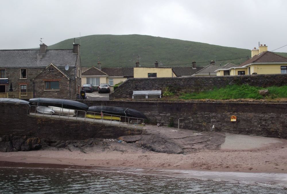
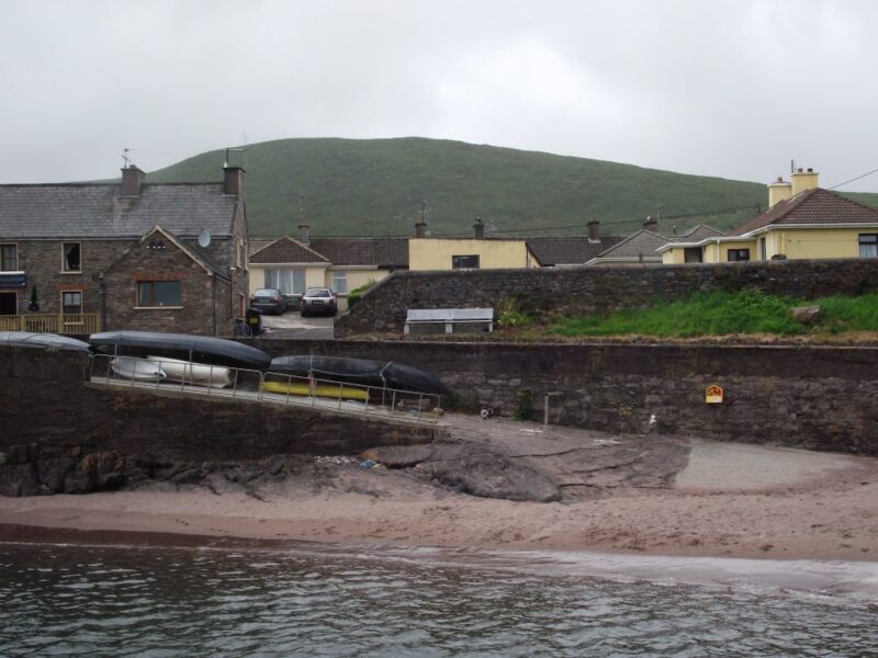
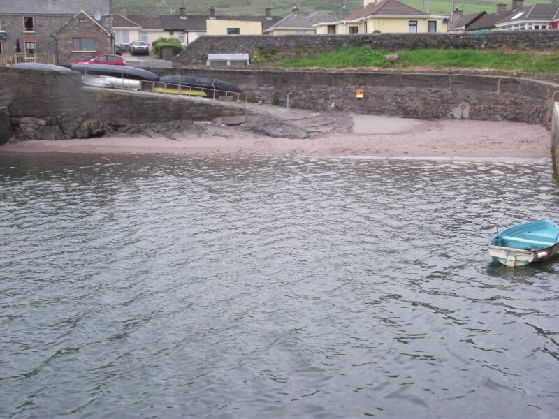
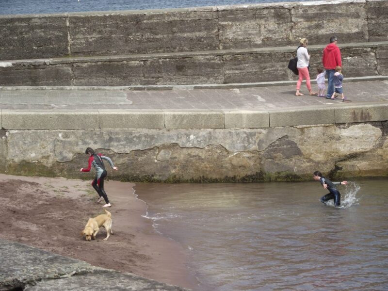
Small but perfectly formed. Is this Ireland’s smallest beach? When we were there it measured about 45 yards long and 25 yards deep. Despite that this a very nice place for a cooling dip.
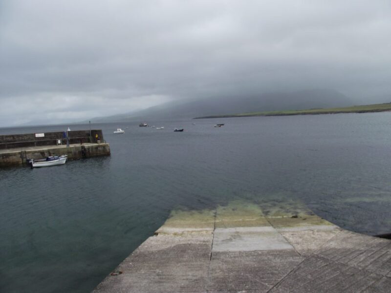
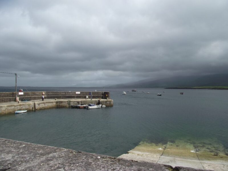
The ‘beach’ is located just to the side of the pier and the water is both deep and sheltered. This is a good place to cool off on a sunny day. Out at the end of the pier young people practice their jumping skills into the deep water.
Parking is very limited but there is a pub just at the pier where you can warm up if you need to.
Directions:
From Tralee take the N86 toward Dingle. Then you branch off for Castlegregory onto the R560. You bypass Castlegregory and go through Stradbally and Kilcummin. Watch out then for a right turn onto the R550 signposted for Cloghane and Brandon. Keep on this road through Cloghane and you will come to a right turn signposted for the pier.
View Larger Map
Ordnance Survey Map No. 70
by Brian Kenny | Jul 5, 2019 | Kerry
July 2012
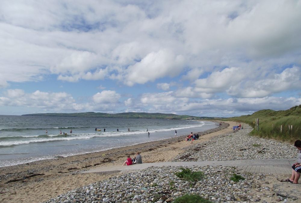
What is seldom is wonderful – when we visited Banna the sun was actually shining and there were lots of people in the water swimming and surfing. That’s a combination you don’t see too often in Ireland.
Banna is a popular holiday beach and with good reason. The long stretch of sand seems to go on forever and when the tide is out there is plenty of room to walk and play.
The water was a bit choppy when we were there, not great for swimming but fine for young people who want to surf or jump in the waves.
Banna is a Blue Flag beach with lifeguards during the summer. Unusual for Ireland it also has an outdoor shower. There is a decent sized car park which had a mobile shop. Access to the beach is via a few slipways. They looked fine for buggies and manageable for wheelchairs.
This is good spot for a family to visit, but check the tides if you are looking for lots of room to play.
Directions:
From Tralee take the R551 toward Ballyheigue. A couple of kilometres after Ardfert watch for a left turn which is signposted for the beach.
View Larger Map
Ordnance Survey Map No. 71


by Brian Kenny | Jul 5, 2019 | Kerry
July 2012
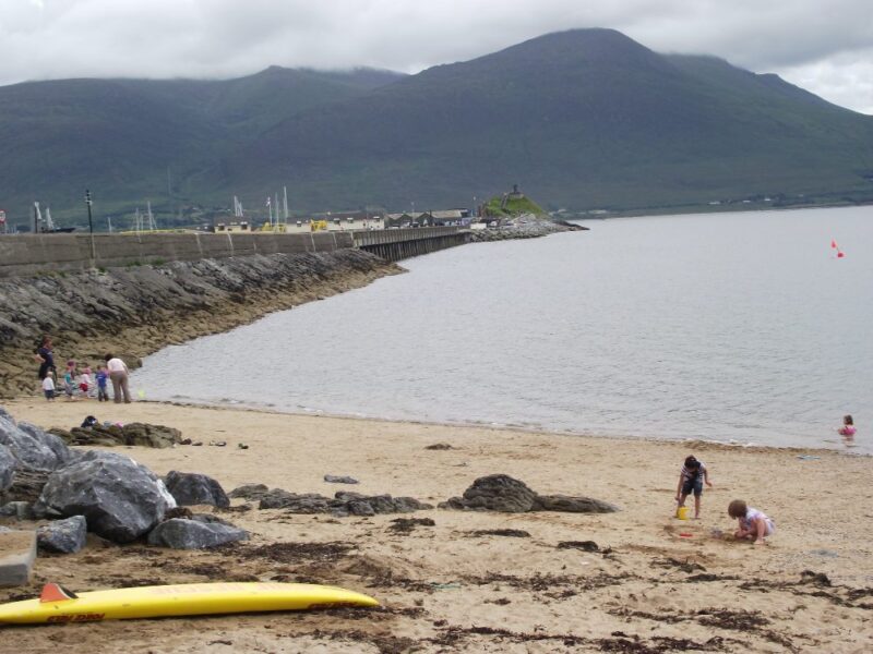
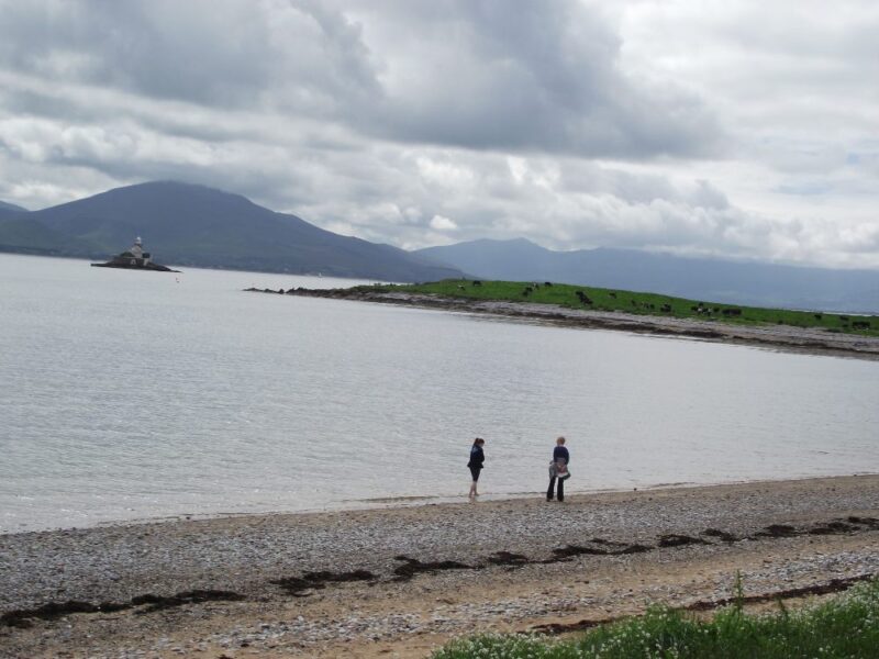
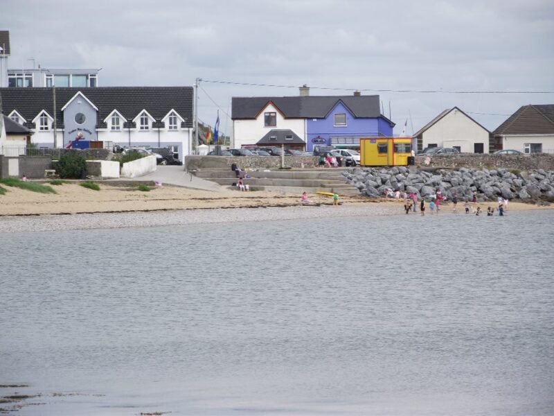
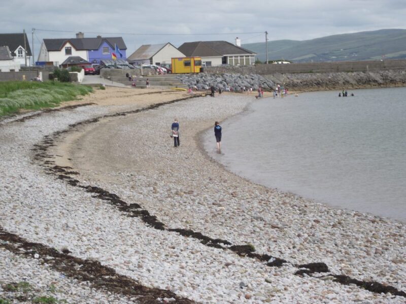
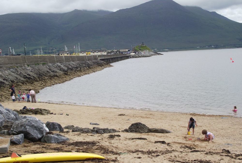
Protected by its long harbour wall, Fenit is a sheltered place for a swim. The water was calm when we visited and ideal for a swim along the shore. Nearer to the wall the combination of calm water and sand makes this a good place for children and families to visit.
The beach, such as it is, is a mixture of sand and stones; similarly, the wade is stony in parts but once you get into your depth the water is soft and welcoming.
Fenit has a decent sized car park and there is a ramped access to the beach which is suitable for buggies. Behind the beach is a nice walkway, lined with seats, and this is manageable for wheelchairs. It also has some picnic tables.
Fenit is a Blue Flag beach with lifeguards during the summer months. The car park has decent toilets and there is a play area nearby.
All in all this is a very suitable place for families to visit, but don’t expect the beach to be all sand.
Directions:
From Tralee take the R551 toward Ballyheigue and then take a left turn onto the R558 for Fenit. In Fenit drive through the village until you see a car park on your right hand side.
View Larger Map
Ordnance Survey Map No. 71
