by Brian Kenny | Jul 5, 2019 | Galway
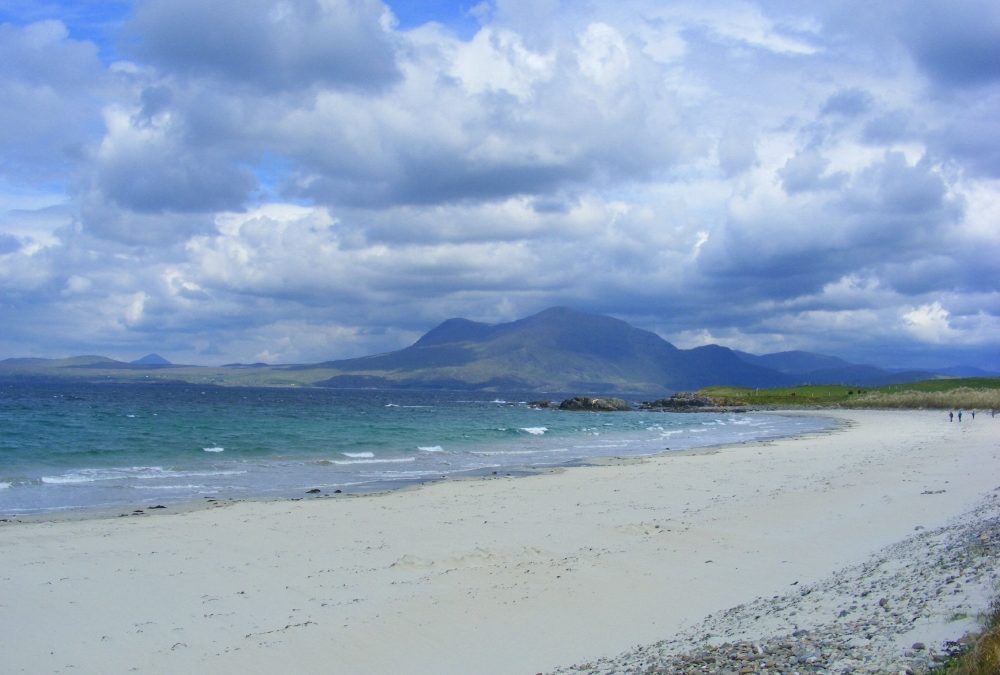
Coral Strand, Carraroe
June 2010
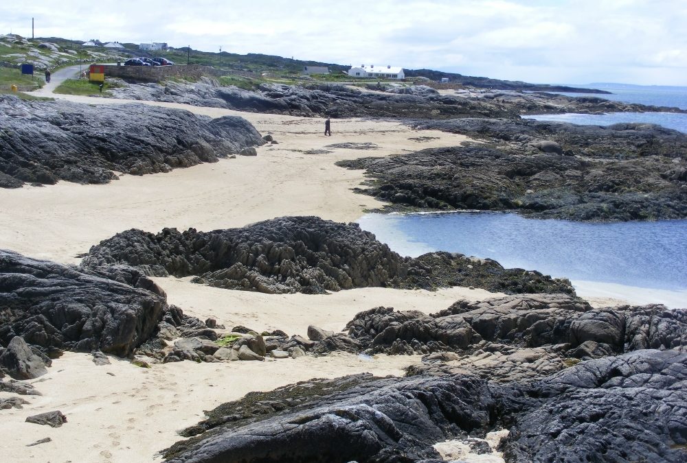
Along with its first cousin near Clifden, this is one of the only two coral strands we know of in the country (If there are others please let us know).
The beach here is small but very attractive. The water is lovely and clear and a pleasure to swim in. Even at low tide there is enough depth for a dip. There are plenty of little coves to shelter in and rocks for the kids to scramble across. And it also has nice views across the inlet to a sample of Connemara’s stony fields.
Carraroe is ‘Irish College’ country, so don’t be surprised if your quiet swim is interrupted, as we were, by a gang of Irish speaking teenagers.
Lifeguards are on duty during the summer months.
Blue Flag beach.
Directions
View Larger Map;
From Galway city you take the R336 coast road and follow it until you go onto the R343 signposted for Carraroe. When you get to Carraroe drive straight through the village and after a short distance you will see the signpost for the Coral Strand.
There is a decent size car park and good toilets along with a couple of picnic tables. Access from the car park to the beach is over a rough track – manageable for buggies, but it looks as though it would be very hard to manoeuvre a wheelchair across.
Ordnance Survey Discovery Series Map Nos. 44 and 45


by Brian Kenny | Jul 5, 2019 | Galway
June 2010
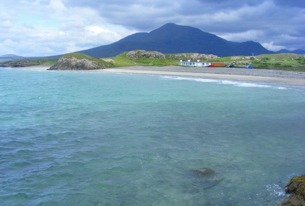
Another White Strand and this one is where we spent a lot of holiday time many years ago. Of course, in those years the sun was always shining and the beach was always white. A couple of years ago we were back on a dull and windy day and it was such a disappointment. This time around we hit a lovely summer’s day and the White Strand was just as we remembered it. In future, we must make sure to go only when sunshine is guaranteed.
The White Strand is a lovely beach with more spectacular views across to the Mweelrea mountains in Mayo. There are in fact two beaches separated by a small hillock. The beaches are a bit open and it does get a bit windy. However, there are rocks at either end where you will get some shelter.
The water here is clear and fresh, like so many of the beaches in Connemara. It’s sandy underfoot and not too deep as you go in – a good spot for children.
All in all one of our favourites, but we can’t guarantee the sunshine.
There is a small car park which has room for about 12 cars. The beach is accessible from the car park.
Directions
View Larger Map
From Clifden you take the N 59 to Letterfrack, where you take the road signposted for Tully Cross. You then go straight through Tully Cross and Tully. After Tully watch out for a caravan park signposted to the right. After the turn for the park you take the next right turn for the beach. In June there was no signpost showing this was the turn for the beach. What’s new?
Ordnance Survey Discovery Series Map No. 37


by Brian Kenny | Jul 5, 2019 | Galway, Lakes
June 2010
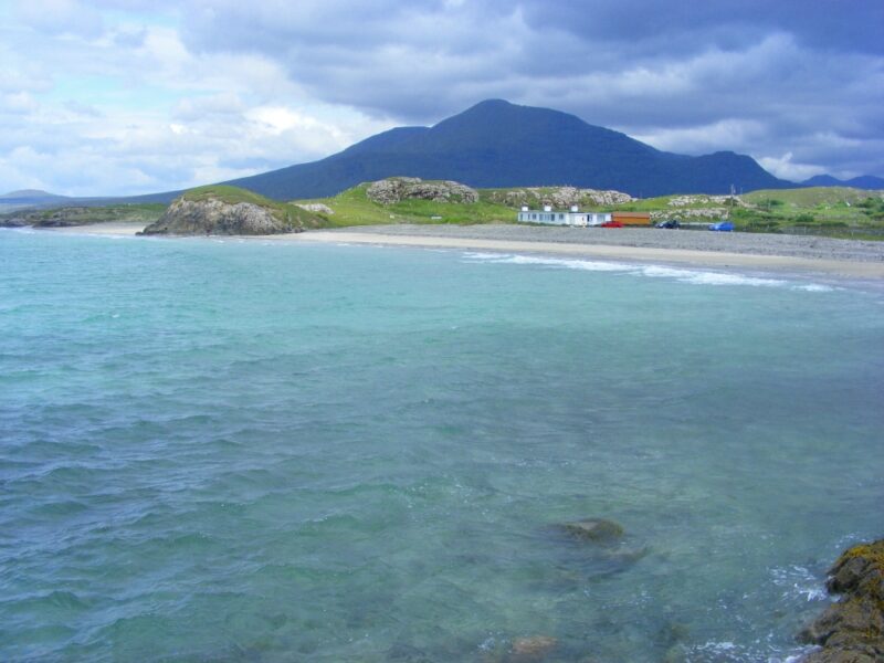
We should declare our bias about Connemara. To us it’s the nicest place in the whole country and it also has the nicest swimming places. And if you get the beaches in good weather then it’s quite spectacular.
So Lettergesh is just one of Connemara’s great places to visit and swim. The water here on a fine day is crystal clear and not too deep. Like many places on the west coast the water can be a couple of degrees colder than other parts of the country. However, it’s clearness and freshness make up for that.
Apart from the lovely water there are great views across to the Mweelrea mountains in Mayo and behind you are the impressive mountains of Benchoona and Garraun.
The beach itself is quite well sheltered and at one end you can scramble across a small promontory which leads you to another equally nice stretch of beach
We’re not sure but was part of ‘The Quiet Man’ filmed here?
There is a large, gravelly car park and you would be able to carry a buggy across a small rocky stretch to the beach. There isn’t wheelchair access.
Directions
View Larger Map
From Leenane take the R 59 for Clifden. After a few kilometres take the right turn for Tully Cross. You pass two lakes and keep on this road until you pass Connemara Camping on your right. Soon after this there is a signpost for Lettergesh Angling which, in true Irish fashion, brings you to the beach
Ordnance survey Map No. 37

by Brian Kenny | Jul 5, 2019 | Galway
June 2010
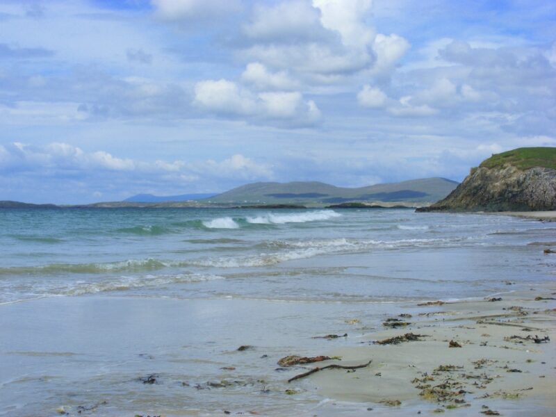
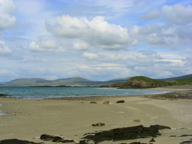
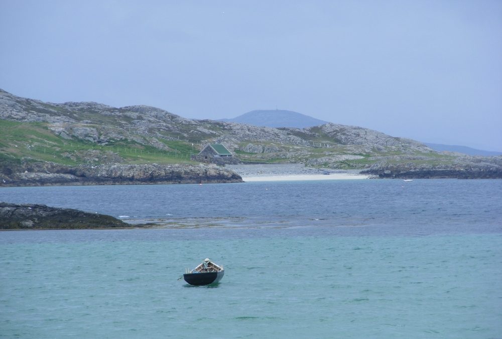
Not far from Duach beach is East End Bay which is bigger and more accessible, as the road runs alongside it. To get here takes about 40 minutes from the ferry pier.
East End isn’t as nice as Duach but it’s still very attractive. The beach is more open, but is nicely curved and, again, the water is clear. If you are feeling adventurous you can clamber across the rocks to a small sandy cove at the far end of the beach and this is a lovely secluded spot.
Directions
View Larger Map
There are regular ferries to Bofin from Cleggan and it takes about 30 minutes. From the pier you turn right and walk for about 30 minutes; after the graveyard you will come to an opening and a sandy track which leads you to Duach beach. Just keep on past the entrance for Duach and you will arrive at the Bay.
Ordnance Survey Discovery Series Map No, 37. There are also local maps of the island on sale at the shop beside the ferry pier.


by Brian Kenny | Jul 5, 2019 | Galway, Lakes
June 2010
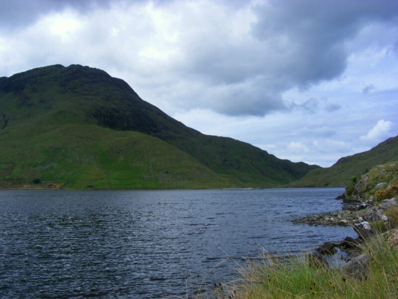
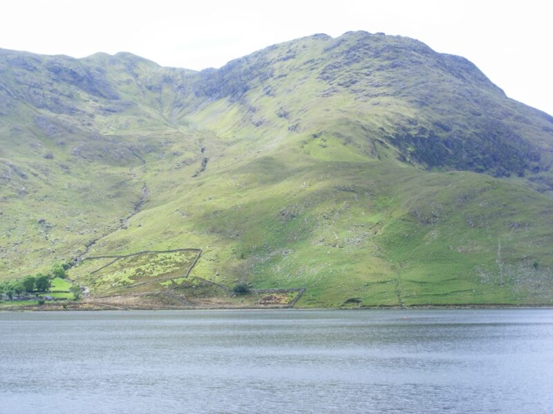
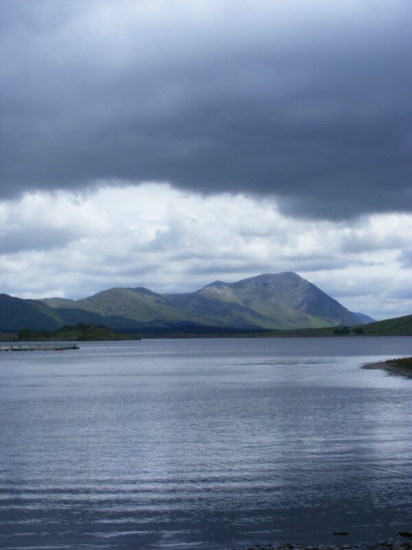
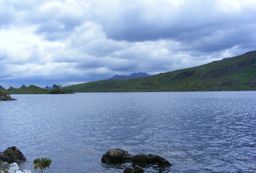
Lough Fee is a lovely tranquil lake set in the heart of Connemara. The lake is surrounded by cliffs and is most impressive.
The water here is soft and as with many lakes it has that peaceful lapping sound
The road runs right alongside the lake and you can find access at the far end of the lake. Make sure you don’t climb over the fencing which blocks off some of the access. There is no need and you shouldn’t anyway.
Once again be extra careful getting in and getting out. Swim near to the lakeside and watch out for submerged rocks.
Directions
View Larger Map;
From Leenane you take the N59 to Clifden. After a few kilometres you take a turn right signposted for Tully Cross. Lough Fee will be the first lake you come to on your left hand side.
Ordnance Survey Map No. 37

