by Brian Kenny | Jul 5, 2019 | Fermanagh, Lakes
June 2016
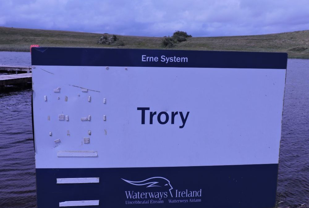
Lough Erne is a great lake for swimming, although it is not designed as such. All along its shore it is dotted with jetties , put there for boats and fishermen but good for fishermen. These jetties provide a protected swimming space and usually have ladders which give good access.
One of these is Trory, not far from Enniskillen and where a ferry to the monastic settlement on nearby Devenish island departs, but not when we were there. The water in Trory was soft, dark and refreshing. As in all such lakes we didn’t partake in any diving not knowing what lies underneath in those dark waters. We always advise people never to dive into such waters.
This is one of many such jetties on Lower Lough Erne and you could spend a lovely ay touring from one to the next and looking across the lake as you swim to a most impressive vista.
Directions:
From Enniskillen take the A32 in the direction of Irvinestown and Omagh. On the outskirts of the town and before you come to a large roundabout, watch out for a left hand turn signposted for the ferry. Follow this narrow road to the lake and then veer left for the Trory jetty. There is adequate room for parking.


by Brian Kenny | Jul 5, 2019 | Fermanagh, Lakes
May 2013
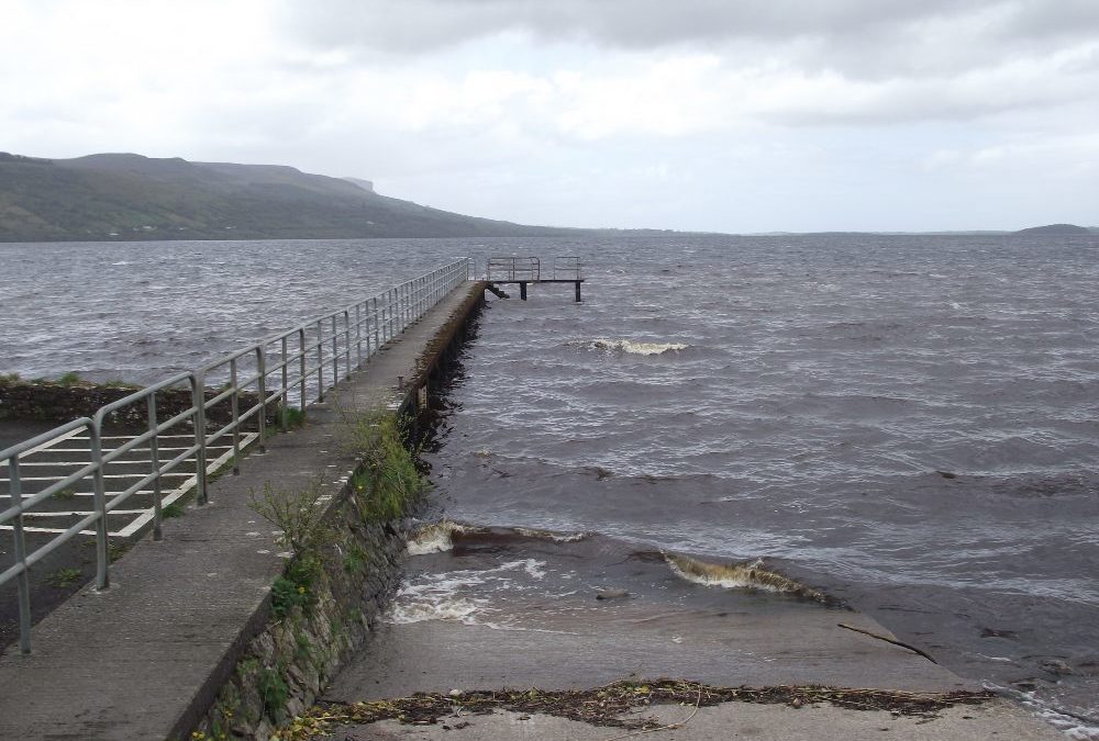
Time was against us as we drove past Lough Melvin so we only had a few minutes to take a few photos and have a quick look. Next time we will time it better and have a swim.
From what we saw Melvin is an attractive place to stop for a dip and a picnic. We saw two potential places to get in from – one was an old stone jetty with steps into the dark water and the second was a small sandy area in the nearby public park. As for all lakes it’s a case of careful as you go, watch for submerged rocks and absolutely no diving or jumping.
On our quick look around we saw the public park had a play area, decent toilets and space for barbecues. It must be very pleasant on a good summer’s day ( remember those?). On our next visit we will make sure to give Melvin the time it deserves.
View Larger Map
Directions:
From Manorhamilton take the R282 signposted for Rossinver. After Rossinver you will come to the lake on your left and drive along it until you come to the public park with a small tarmacadam car park.


by Brian Kenny | Jul 5, 2019 | Fermanagh, Lakes
May 2013
Beautiful Lough Erne, stretching right through Fermanagh, must be one of the nicest lakes in the whole country. This is a very well maintained facility used by fishers, boatmen and women and, we hope, swimmers.
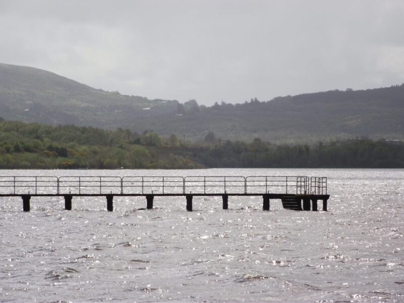
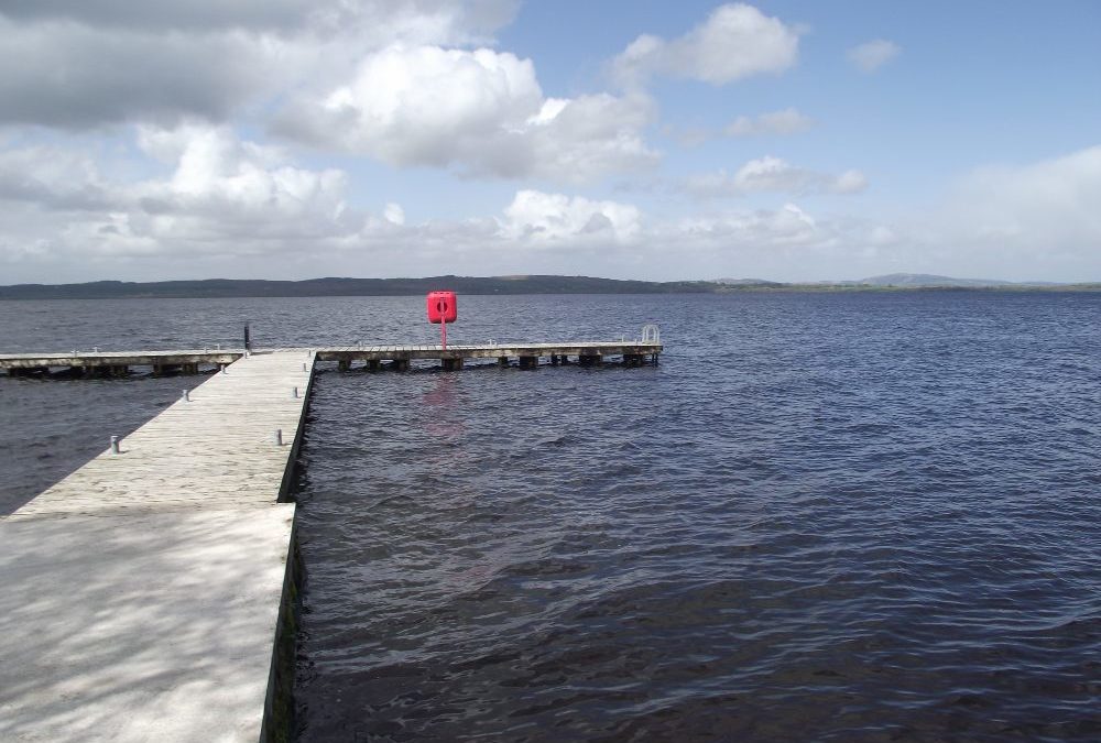
We drove along the southern side of the lake and there are a number of places, with jetties, to stop along the way. Obviously, they are designed for boats but they also make for handy places to swim.
We stopped at Magho which, if you are coming from Enniskillen, is probably the last jetty on the rignt hand side before you come to Belleek. The well maintained jetty stretches out into the water and a ladder at the end provides a good entry point. The water was dark, fresh and calm and we had a lovely swim. As for all lakes you need to be careful, watch for underwater rocks and no jumping or diving.
From the car park there is a forest path down to the jetty which is buggy accessible and you might manage a wheelchair with difficulty.
A number of similar jetties feature along this side of the lake so you could easily have a few swims along the way.
View Larger Map
Directions:
From Enniskillen take the A46 toward Belleek. Magho is toward the end of the lake on the right hand side and is signposted.


by Brian Kenny | Jul 5, 2019 | Fermanagh, Lakes
June 2016
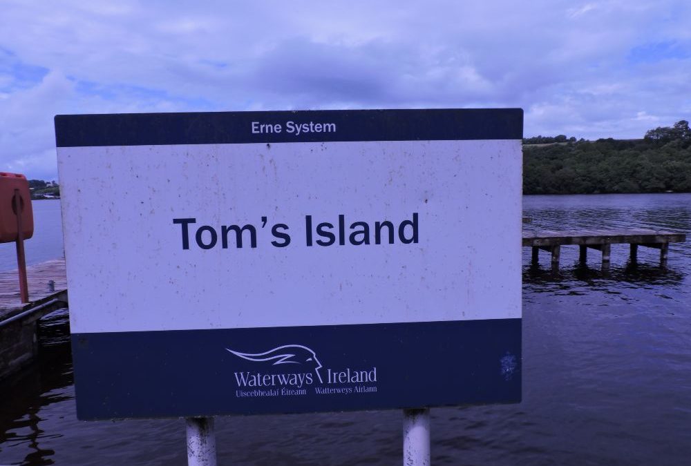
Another of Lough Erne’s many good places to swim and ideal for families as this one is located in an attractive forest park.
it was lovely and sunny when we were there and the water was both warm and refreshing. We stayed within the jetty area but were out of our depth, so this is not for kids or inexperienced swimmers. Access to the water was via two ladders on the jetty. As we swam we could look down the vast expanse of the lake and it is a gorgeous environment for swimming.
From the car park it’s about a five minute walk along a forest path which looks ok for buggies. There are a couple of picnic tables at the edge of the water and a walking trail runs alongside the lake for the more energetic.
Directions;
From Enniskillen take the A32 toward Irvinestown and Omagh. After a couple of kilometres you take the A47 signposted for the Airport and Kesh. Travel along this road for a number of kilometres and go past the main entrance for the Castle Ashdale Forest Park. After another kilometre you will come to a junction with a left turn signposted for Aghinver. At this junction you will see a small entrance for the forest. At the end of this road you will come to a car park and from there you take the path directly in front of you to the water’s edge.


by Brian Kenny | Jul 5, 2019 | Dublin
Hello,
In relation to the name “The Springers” in Skerries … it
got the name due to the presence of a diving board (spring board), now long since gone. There is evidence that this place was used for swimming since at least 1929. The Springers is also the preferred site for a group of year round swimmers known as the “Frostbites” or “Frosties”. The adjacent swimming site near by on Red Island is called “The Captains”. Fingal C.C. upgraded both sites 2 years ago.
All the best from a hooked Springers addict.
The Springers, Skerries, Dublin
The Springers Bathing Area, Skerries
May 2010
The plaque at the entrance calls this spot The Springers Bathing Area. Apparently the name derives from ‘springboards’ which used to be located here many years ago. This is an attractive, well maintained swimming spot.
There are actually two swimming places here, almost side by side, but The Springers is the better of the two. It’s a flat concrete area, with places to leave your clothes and steps into the water. The entrance is wheelchair and buggy accessible and is a credit to Fingal County Council and the local community who maintain it.
The Springers is also a sociable place for o swim, with the local swimming group, The Skerries Frosties, meeting for a swim every day throughout the year – see photos below ( 11am weekdays, 12 noon weekends and bank holidays).
The water here is clear, there is good depth and you also have nice views as you swim out toward the Skerries islands, which the Frosties do on a regular basis
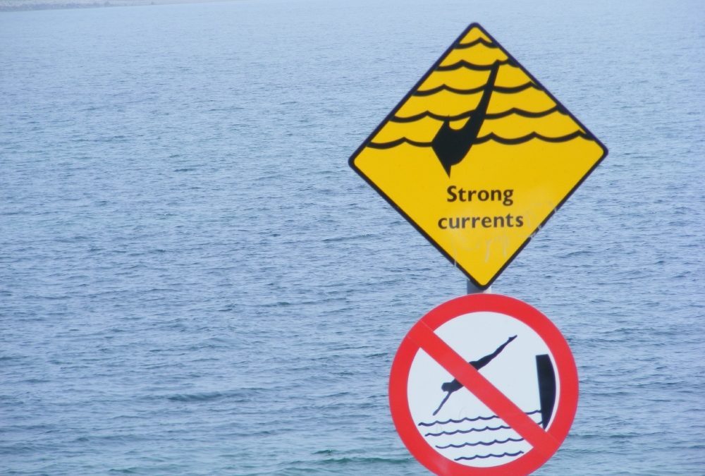
However, there are warning signs which say ‘Strong Currents’ and ‘Competent Swimmers Only’ so don’t ignore them.
The main Skerries beach is nearby, which is long, sandy and good for kids. Behind The Springers is a grassy area, with seats and further along there is a decent sized playground. Behind the main beach there are well maintained public toilets.
All in all this is a really good swimming spot.
Directions
View Larger Map
From Dublin you take the M1 Belfast road. You leave it at Exit 4, signposted R 132 for Skerries. Follow the various signposts all the way into the town. You then drive through the town and watch out for the road to the harbour. Follow it as it swings around past the harbour which will lead you to the parking area near the playground.
Skerries is also served by Dublin Bus – check out www.dublinbus.ie


