by Brian Kenny | Jul 5, 2019 | Londonderry
June 2016
East Strand
Life is confusing enough without having to cope with two ‘East Strands’ within a kilometre of each other, but that’ s what Portush has, so we chose the nicer of the two.
This is a large, classic family beach just on the edge of the town. Despite its location it has that get way from it all feel to it and if you walk down the beach a few hundred metres you can be in a different world.
We hit East Strand on a good day with sunshine and clear water. There was a gradual wade in with just a few waves to keep young people happy. This is a surfers’ beach with plenty of young people taking lessons from the on site surf school. There is a plenty of room here for families and you can have a good 30 minute walk down the beach to nearby Whiterocks.
Facilities at East Strand are good with toilets and a large car park. There is a ramp which makes it accessible for wheelchairs and buggies. The beach itself is a bit open so a windbreak on a windy way would help.
Lifeguards are on duty in the summer, but check locally for details
Directions:
On the A2 from the Giants Causeway and Bushmills direction come into the town of Portrush . Follow the signs for the town centre and then watch for a right hand turn which will take you into the car park.
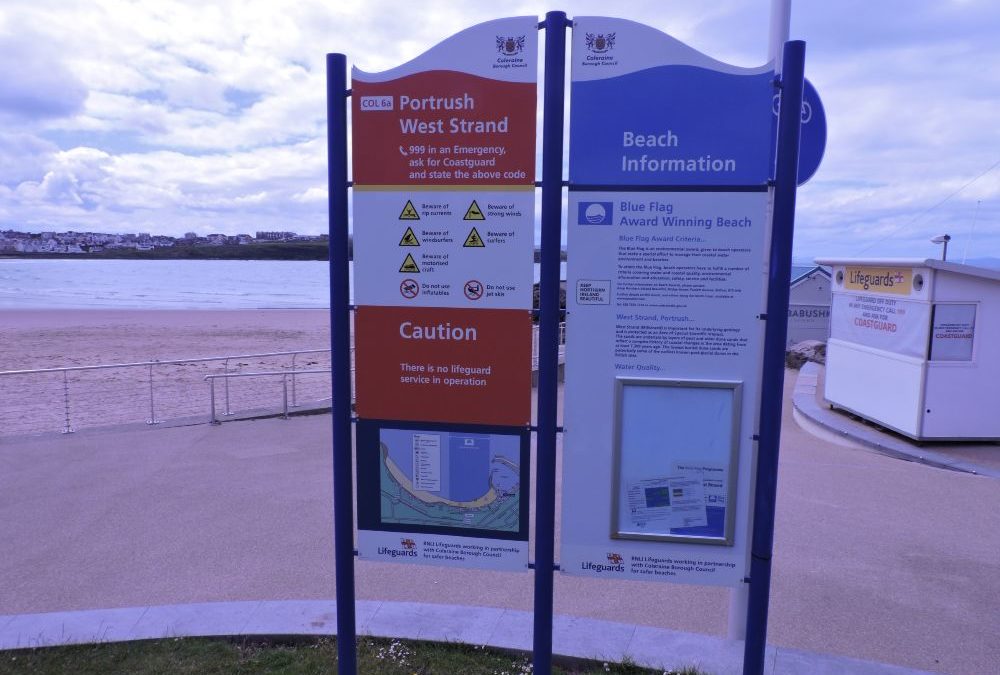
West Strand
West Strand is on the other side of the town, not as large as its neigbour but more sheltered with some protection from the harbour and cliffs at either end.
This is a very well maintained facility with toilets at either end and a nice promenade for strolling on. There is ramp access and even a small coffee shop at the harbour end. It was a dull day when we were there and , surprise, surprise, we were the only ones swimming. The water was choppy and we spent more time jumping the waves than we did doing the backstroke. We also felt a bit of an undertow so be careful you don’t go out too far.
West Strand has adequate parking and showers attached to the toilets. And for kids who get bored of the beach there is a fun fair just behind it.
Lifeguards are on duty during the summer- check locally for details.
Blue Flag beach.
Directions
On the A2 from the Giants Causeway and Bushmills watch out for the signposts for Portstewart which will bring you around the town. As you leave the town watch for a right hand turn signposted for the beach which will bring you under a railway bridge into the car park.


by Brian Kenny | Jul 5, 2019 | Cork
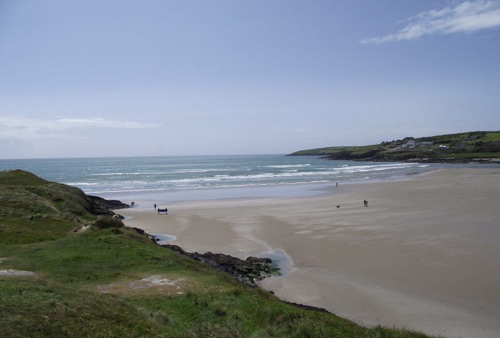
Inchydony Island, West Cork
June 2011
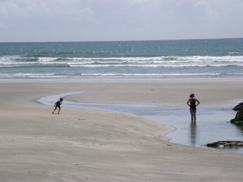
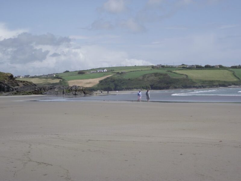
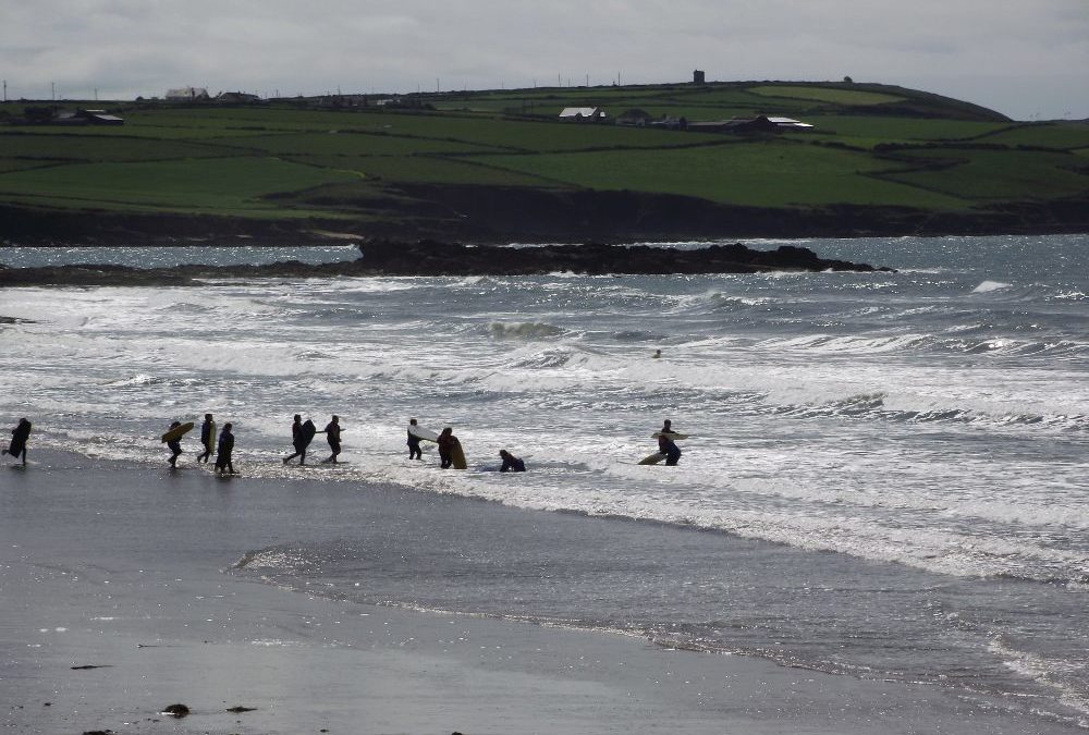
Inchydony is one of the most spectacular beaches in West Cork – a wide and wild expanse of sand with plenty of room to swim, surf, walk and play.
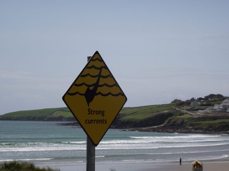
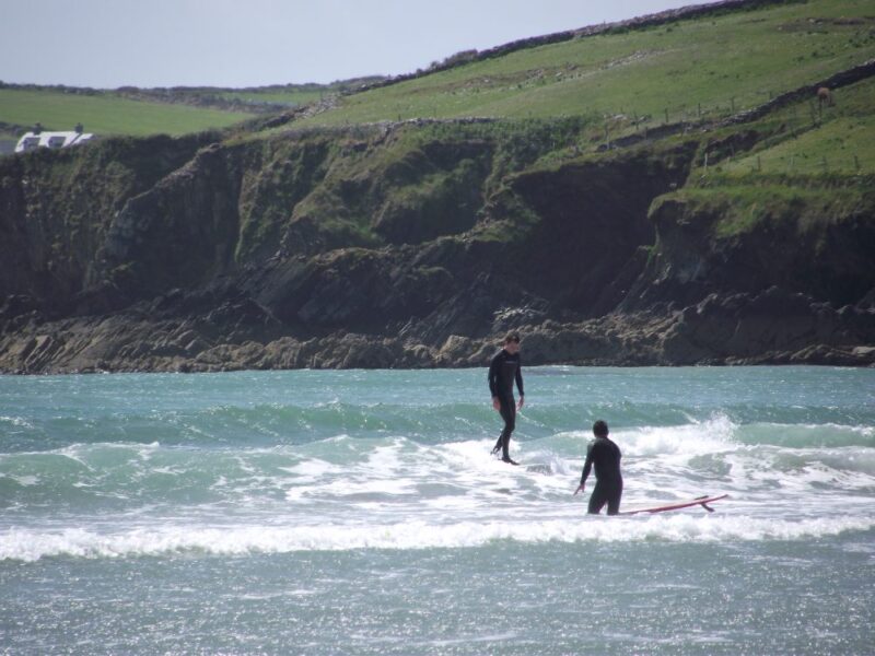
This is a very open beach where the wind seems to blow regularly. The sea is often choppy and wavy- good for the many surfers who come here, but not so good if you want a relaxed swim. Still if you like jumping waves, this is the place for you.
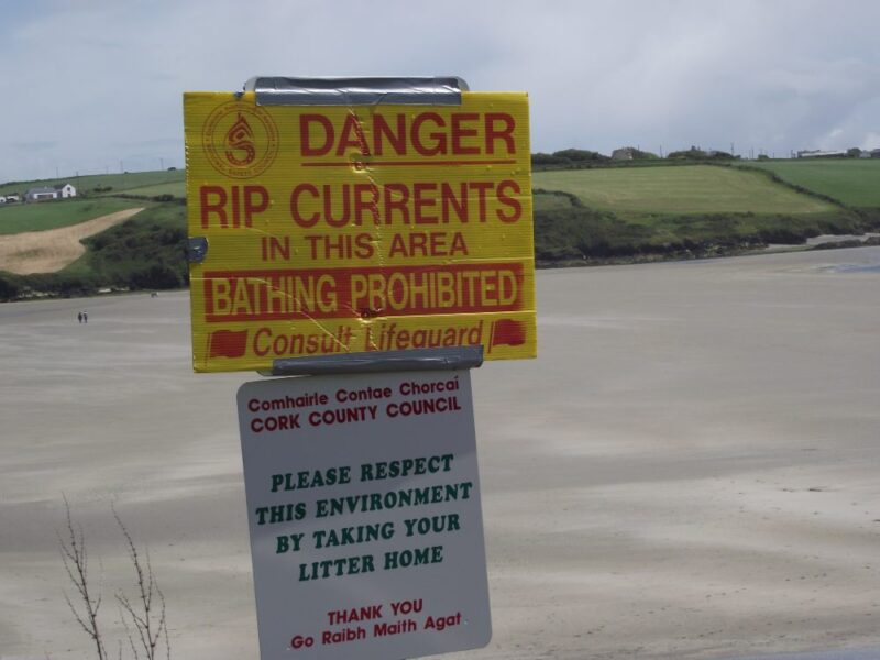
One side of the beach has a sign warning you of rip currents and that bathing is prohibited, so steer clear.
If you want to linger here bring your windbreak as there isn’t much shelter. There are steps down to the beach so you will have to carry buggies and we couldn’t see any access for wheelchairs.
Blue Flag beach 2012.
Lifeguards are on duty during the summer months. There are public toilets but they were locked when we were there in June. There is a good sized car park, but this is a very popular spot which gets very busy in summer.
View Larger Map
Directions:
From Cork take the N 71 to Clonakilty. On the bypass round the town watch out for a left turn signposted for Inchydony, which is about a further 4 kilometres.
Ordnance Survey Map No: 89
by Brian Kenny | Jul 5, 2019 | Cork
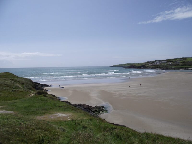
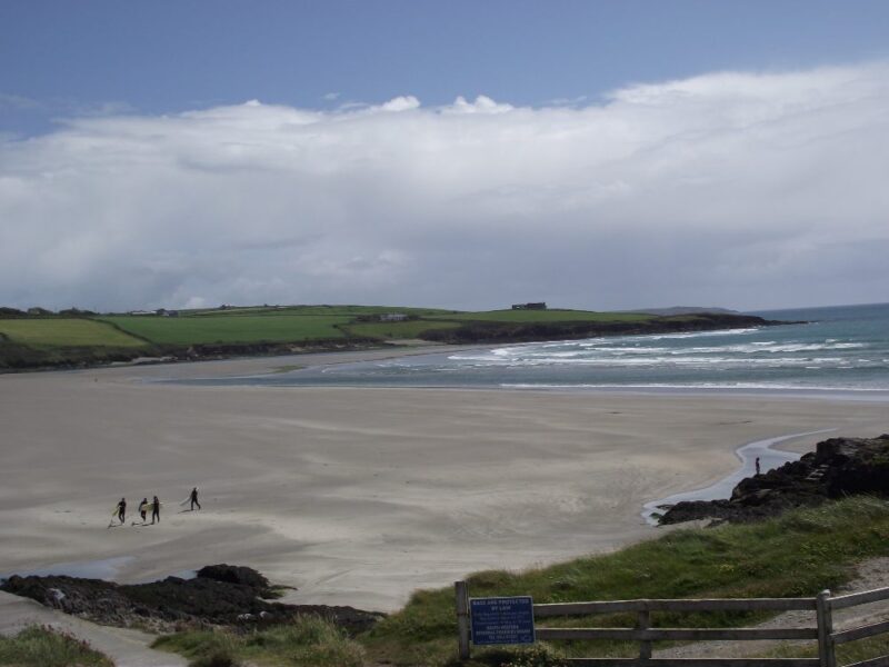
Garrettstown and Garrylucas, West Cork
June 2011
Two for the price of one. Garrettstown and Garrylucas are side by side and, although different, are worth describing as a pair.
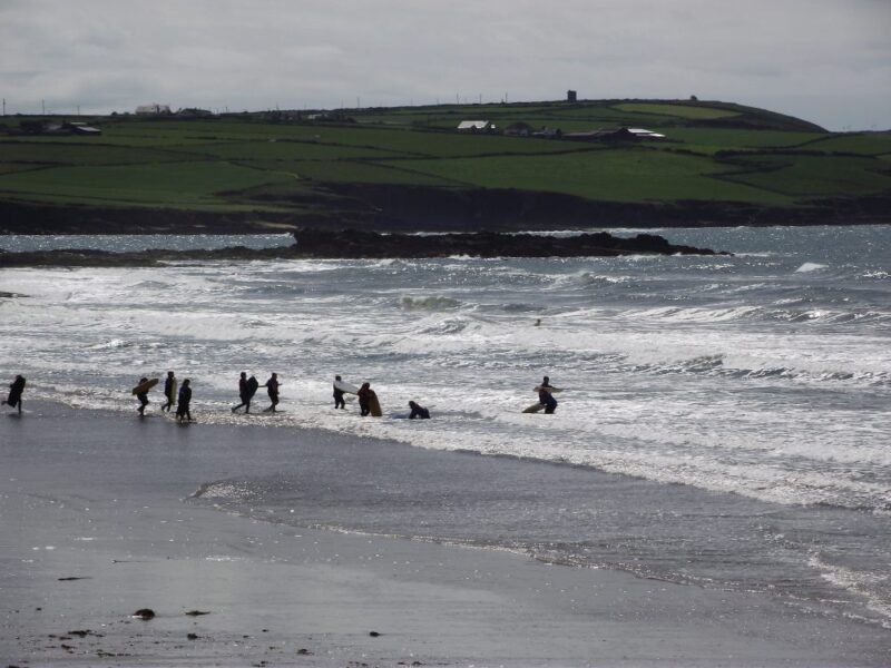
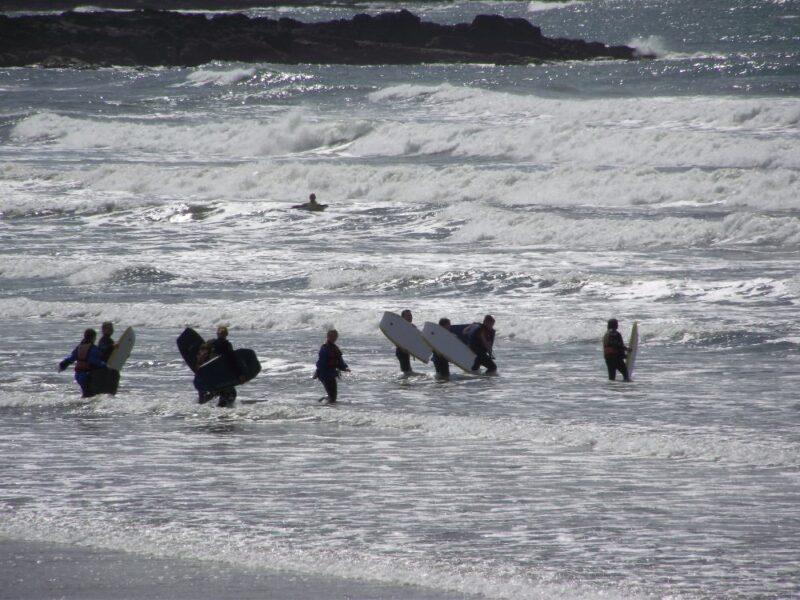
First Garrettstown. When we were there the water was choppy, windy and full of surfers. Swimming was difficult but grand if you like jumping into and over waves. This is a large beach with plenty of room for running and playing. Rocks at either end will give you some shelter.
Access can be found at either end and there is a good amount of car parking. At one end there is a disabled car parking space and then a ramp which finishes with a 12 inch drop. Why? It is, however, accessible for buggies.
Lifeguards are on duty during the summer . There are toilets and a couple of picnic tables in a nice location overlooking the beach. Blue flag beach.
Next to Garrylucas, which is just up the road. When we were there the water was calmer, the beach quieter and it was a much more attractive place to swim. There is a gradual wade in but good depth as well.
The beach is soft and there is plenty of room. Altogether it appears to be more sheltered than its neighbour.
Garrylucas has lifeguards in the summer.
There is a large car park and some seats and picnic tables. It is also good to see a ramp which allows wheelchair and buggy access to the beach.
View Larger Map
Directions:
From Kinsale you take the R600 signposted for Ballinspittle and then take a left turn onto the R604 signposted for ‘Old Head’. Along this road you will pick up signposts for the beaches.
Ordnance Survey Map No: 87
by Brian Kenny | Jul 5, 2019 | Cork
June 2011
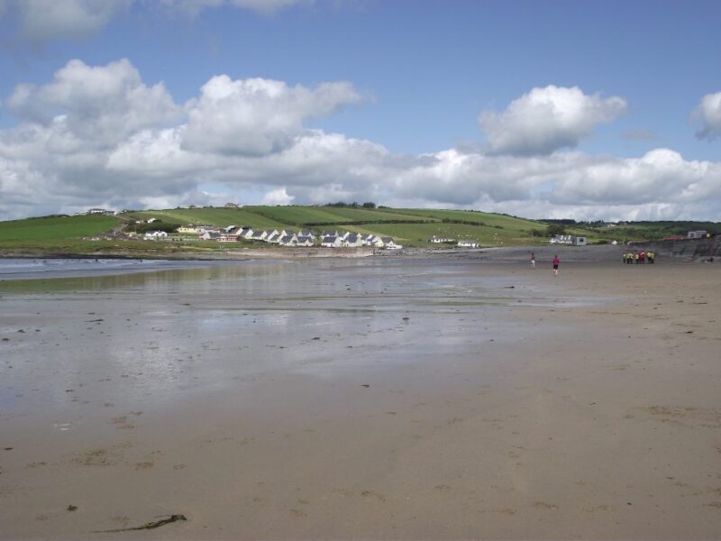
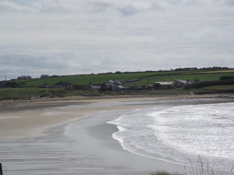
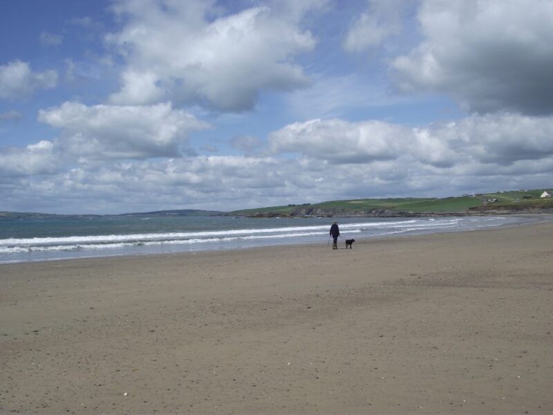
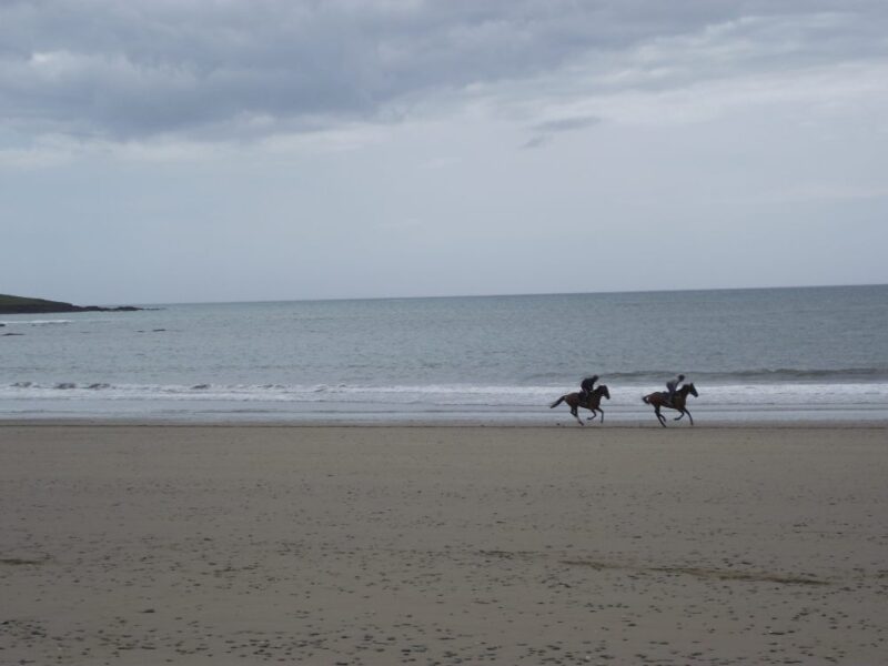
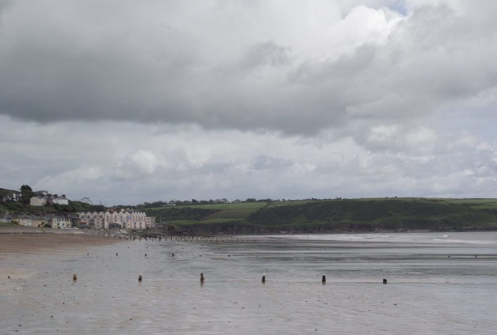
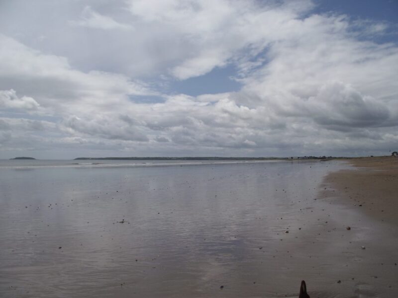
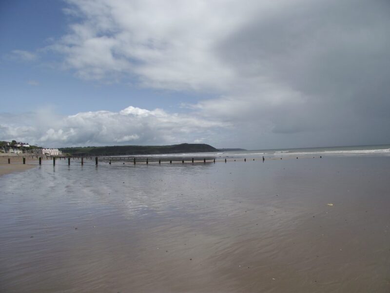
Two more for the price of one. Claycastle and Front Strand are two beaches that run into each other and, indeed, are part of a long, five kilometre beach which stretches from Youghal town to Redbarn and beyond.
Like Redbarn these are open beaches with lots of room for walking and playing. However, they are sheltered in Youghal Bay and when we were there the water was calm and good for swimming. Do keep an eye on the tides as you face a bit of a wade in at low tide.
If you plan to stay for a while, bring your wind break as there isn’t much shelter on a windy day.
Both are Blue Flag beaches 2011 and both have lifeguards in the summer. There is good car parking , picnic tables and toilets at Claycastle, which also has ramp access to the beach. At Front Strand there is good car parking as well, with ramp access at the very far end. Otherwise there are steps where you will be able to manage a buggy.
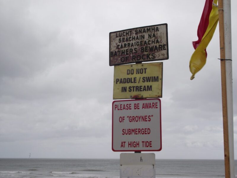
At Front Strand do take notice of the warning sign about the ‘groynes’ (timber posts embedded in the sand) which are hidden at high tide.
Directions:
View Larger Map
Front Strand is just outside Youghal on the R634 . Claycastle is a further kilometre or so on this road and the car park is signposted.
Ordnance Survey Map No: 81

by Brian Kenny | Jul 5, 2019 | Cork
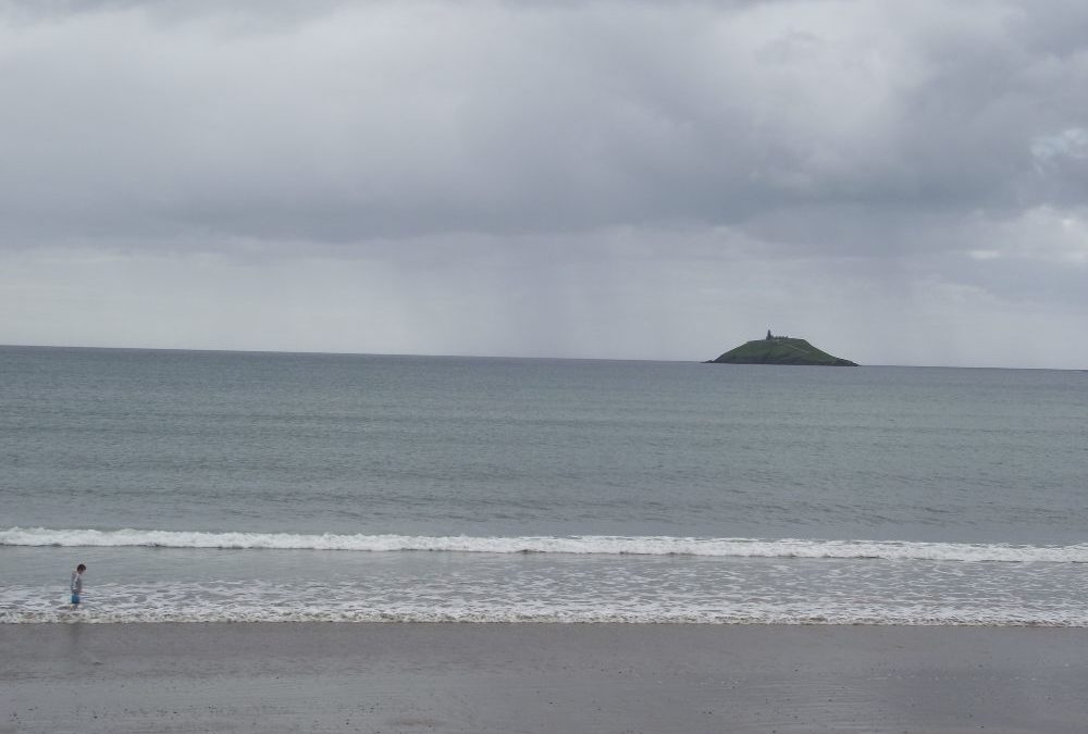
Garryvoe Beach, West Cork
June 2011
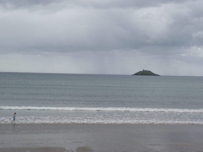
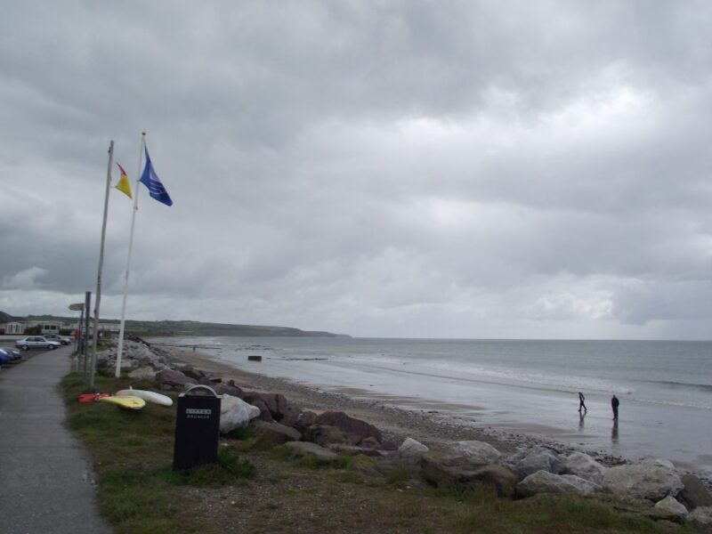
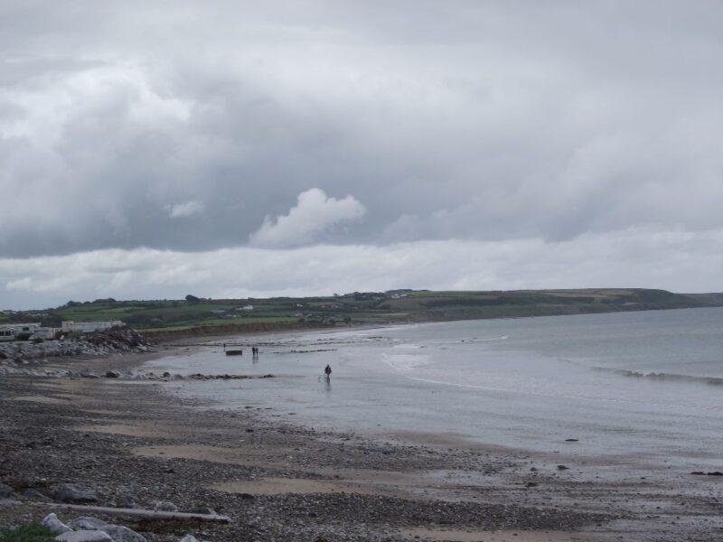
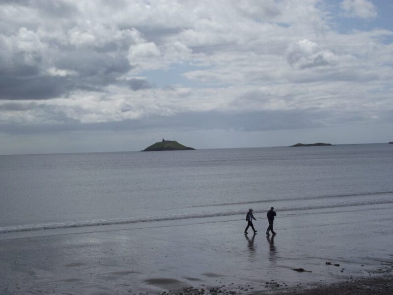
Sheltered in Ballycotton Bay, Garryvoe is a popular summer beach, good for swimming and walking.
When we were there the water was calm and good for swimming, even if the day was dull. You are reasonably quickly into your depth, but it seems to be safe for kids to splash and play.
There is plenty of room on the beach and there are some rocks for shelter. The ramp from the car park onto the beach is fairly steep, but it does give wheelchair and buggy access.
Lifeguards are on duty in the summer. There is good car parking and toilets nearby. Picnic tables and a play area complete a good set of facilities for a family outing
View Larger Map
Directions:
From Cork city you take the N25 toward Midleton and Youghal. At the town of Castlemartyr watch out for a right turn onto the R632 which will lead you to Garryvoe.
Ordnance Survey Map No: 81
