by Brian Kenny | Jul 5, 2019 | Cork
June 2011
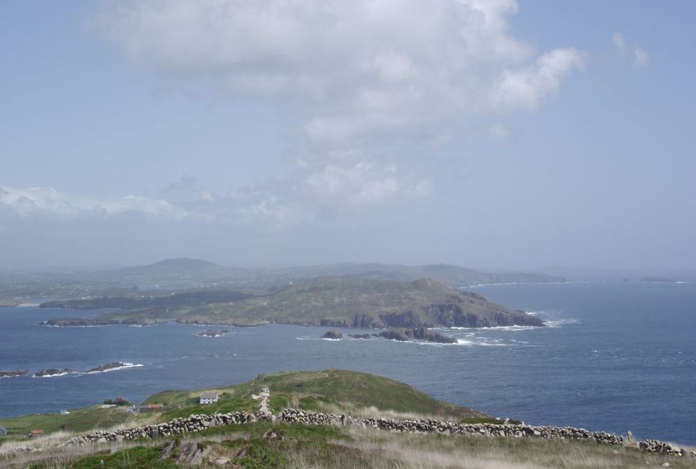
Cape Clear is a lovely island located off the West Cork coast. However, is is not plentiful in accessible swimming spots.
On a walk around the island the only place we could find for a dip is in the harbour where the small ferries and other boats come in. When the tide is low this is a scruffy, unappealing location. Thankfully, when the tide is in the seaweed and grimy sand is covered up and it is altogether more attractive.
Access to the water is from a grassy area on the far side of the harbour to where the small ferries dock. There are stone steps into the water and good depth. We can’t vouch for the water’s cleanliness but it is certainly refreshing after a walk around what is a very attractive island. Beside the harbour is a cafe and craft shop which adds to its appeal
Directions:
View Larger Map
Boats to the island go regularly from the town of Baltimore, which is accessed on the R595 from Skibbereen.
Ordnance Survey Map No. 88


by Brian Kenny | Jul 5, 2019 | Cork
June 2011
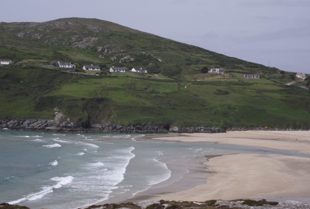
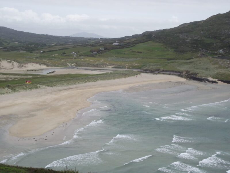
Barleycove is one of the nicest beaches in West Cork and it’s a fine place to swim.
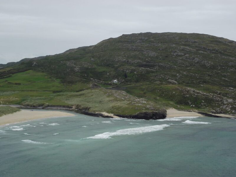
The beach’s wide expanse of sand is surrounded by cliffs at either end. The water here is clear, fresh and wavy. It looks like a good place for surfers.
The beach itself is fairly open , although there are rocks and a cove at one end for shelter. A windbreak will be handy if you are planning to make a day of it. There is plenty of room for children to play both on the beach and in the grassy dunes at the back.
Blue Flag beach 2012.
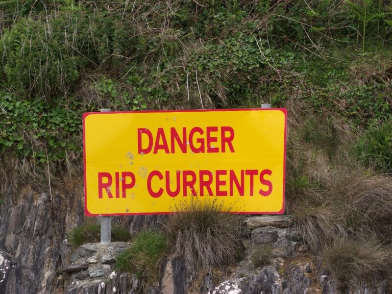
We think there are lifeguards in the summer months, although none was there mid week in June- check with Cork County Council. In any event do take notice of the rip current sign at the far end and be careful.
Access to the beach is about a 5-10 minute walk from the good sized car park, across a board walk and a rubbery, bumpy pontoon. It’s not wheelchair accessible and bringing a buggy will be difficult.
The car park has portaloos, a water tap and a cold, outdoor shower.
Directions:
View Larger Map
From Bantry you take the N71 toward Skibbereen. Outside the town you take a right turn onto the R591. Follow this all the way through Goleen and when the road swings left to Crookhaven , you take a right toward Mizen Head. The car park is a few kilometres beyond this point and is well signposted.
Ordnance Survey Map. No. 88
by Brian Kenny | Jul 5, 2019 | Carlow, Rivers
Just wanted to say that we went swimming on Sat & Sun at St Mullins in Carlow based on the recommendation from your website, and it was absolutely lovely! Thanks for running such a great resource!
St Mullins
August 2010
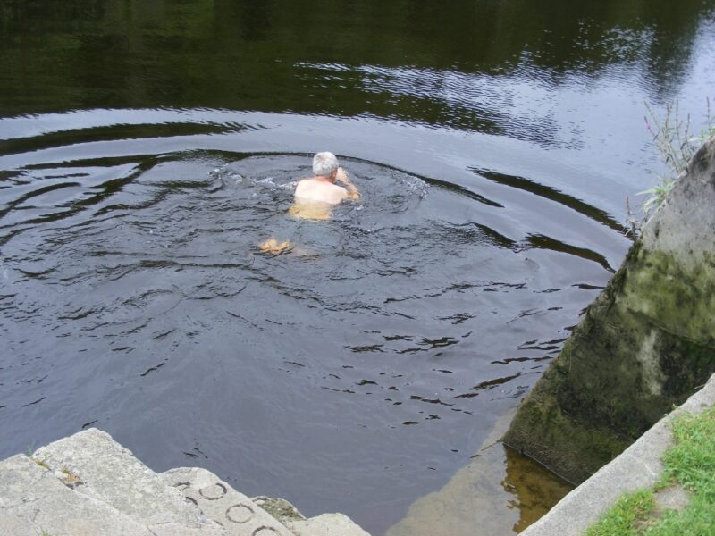
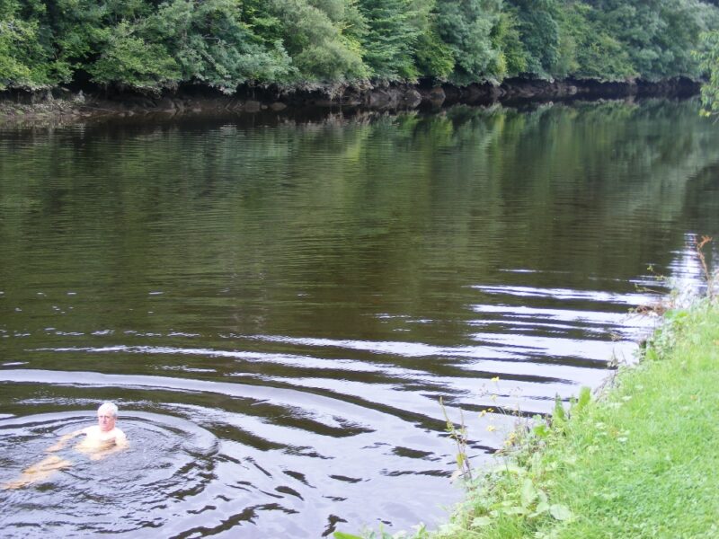
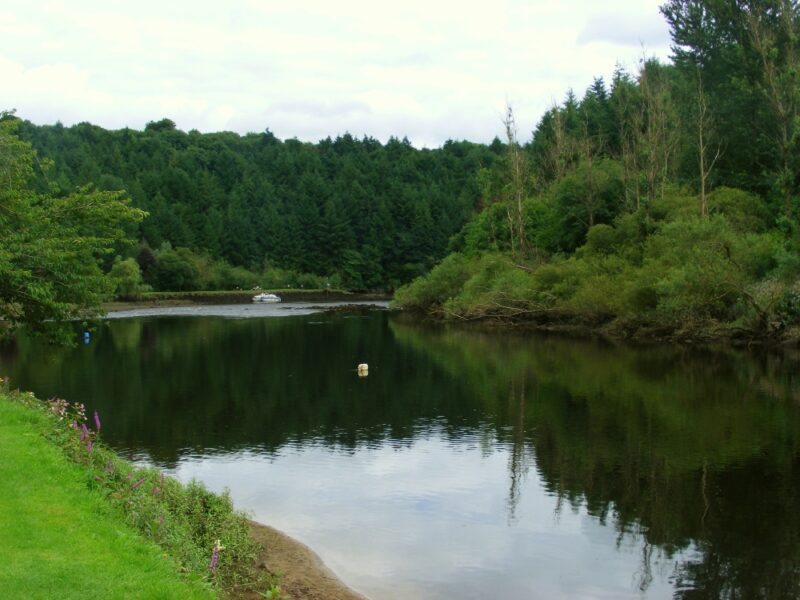
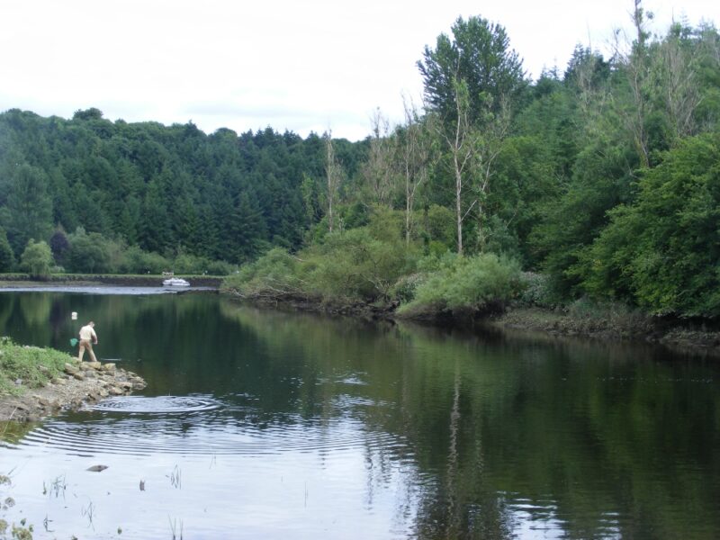
St Mullins is a lovely village located near to the River Barrow. The area near the river is very well maintained with lots of green space, picnic tables and public toilets. Down along the river there is a nice café and from here you can walk the Barrow Way back to Carlow if you have the energy.
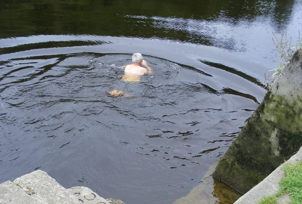
Access to the water is best done from stone steps just across from the café. You can stand at the bottom of the steps here and launch yourself in. The water is cool and dark and refreshing. The Barrow is a large river and you would want to be careful swimming here if there is any kind of a decent flow to the water.
All in all a lovely spot for a swim.
Directions
View Larger Map
From Carlow take the M9 and then exit 6. Follow the R705 to Borris and then you take the R729 which leads to New Ross. At the village of Glynn watch out for a right turn signposted St. Mullins.
by Brian Kenny | Jul 5, 2019 | Carlow, Rivers
Bagenalstown Outdoor Pool and River Swimming Area
August 2010
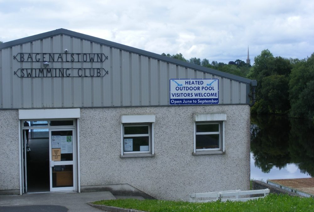
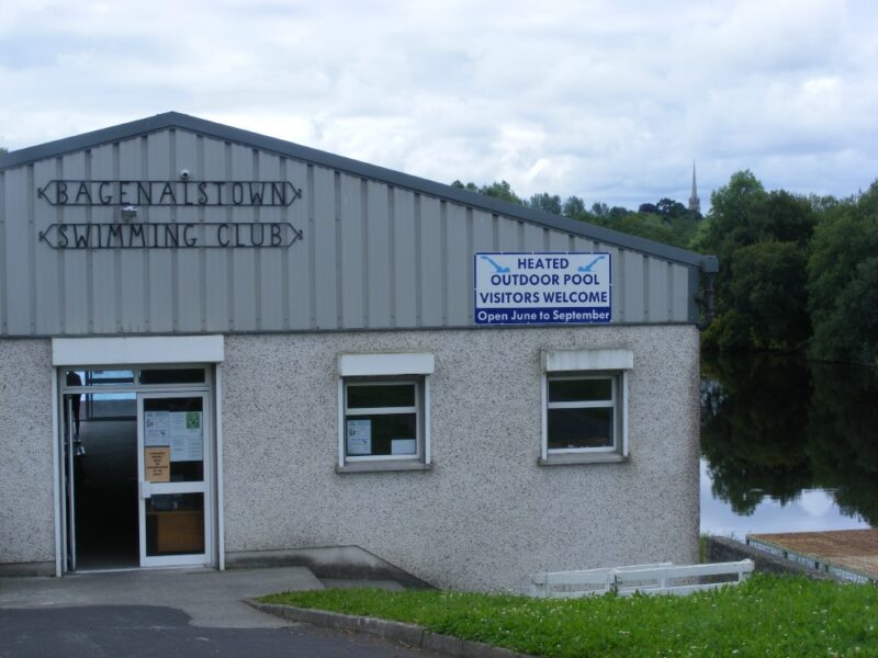
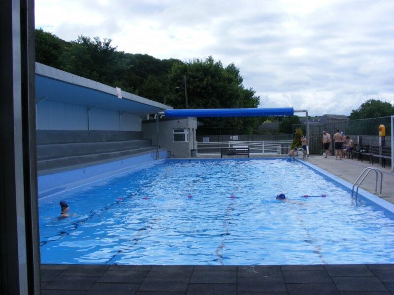
We don’t have half enough outdoor pools in Ireland so the heated outdoor pool in Bagenalstown is to be welcomed and commended.
The pool is run by Bagenalstown Swimming Club and is an excellent facility, well maintained , with changing rooms and showers. The pool is open June to September with visitors welcomed alongside members.
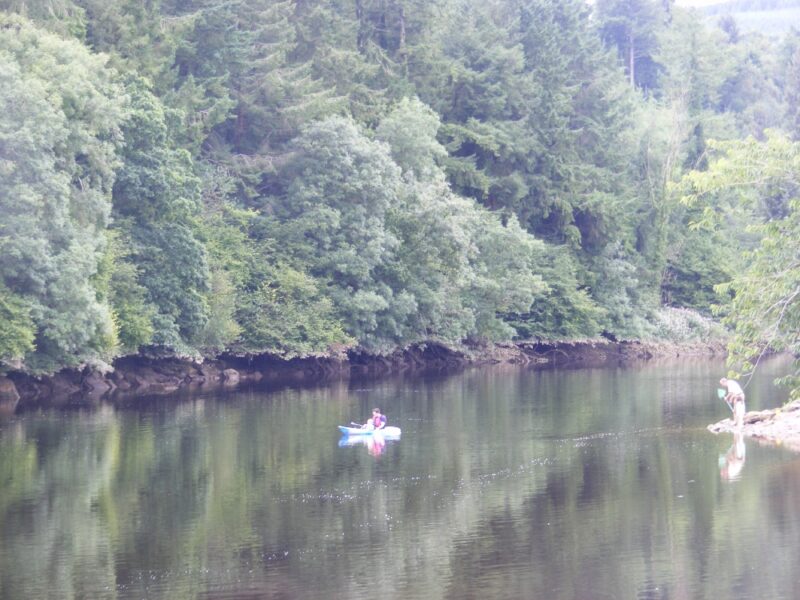
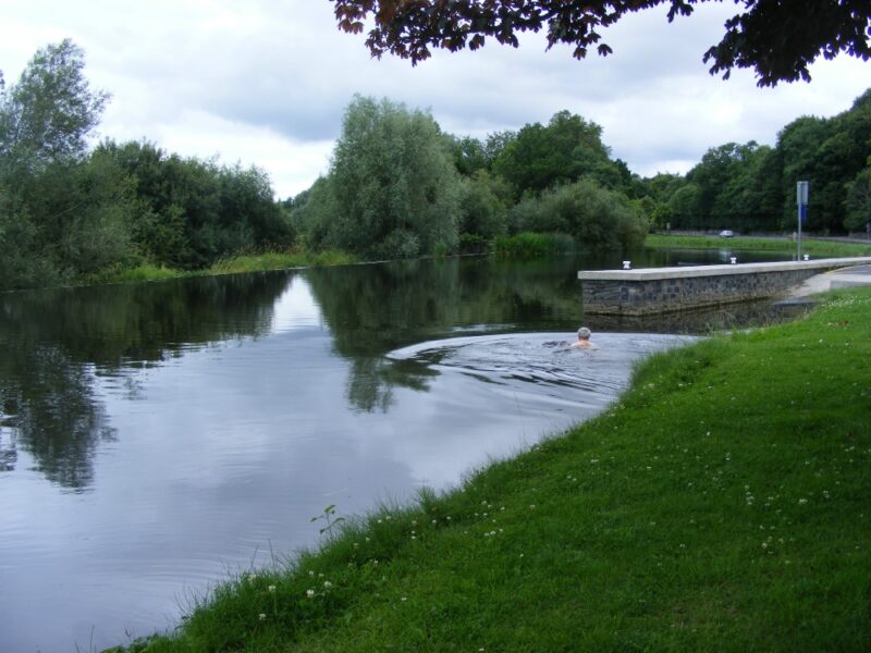
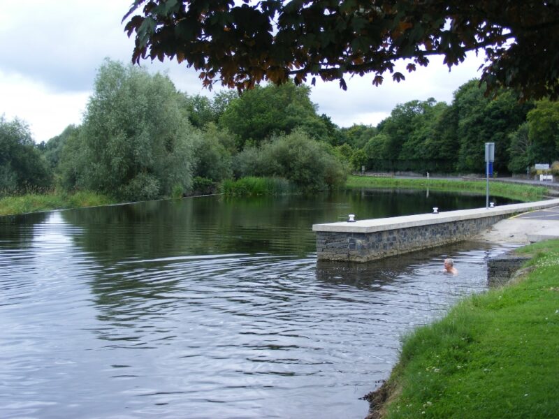
A few hundred metres down the road is another swimming spot, located at a weir on the impressive River Barrow. Access into the water is down a wide new slipway. The river water here is dark and cool and nice to swim in. But you need to be careful as the weir is close by. If the water is flowing anyway fast it looks like a place to be avoided.
This area is well maintained with a nice green area and a small number of parking spaces.
Lifeguards are on duty during the summer months
Directions
View Larger Map
From Carlow you travel on the M9 and take exit 6 signposted Leighlinbridge. You travel on this R705 road and the outdoor pool is on your right hand side just before you come to Bagenalstown.
Ordnance Survey Discovery Series Map No. 61
by Brian Kenny | Jul 5, 2019 | Antrim
July 2009
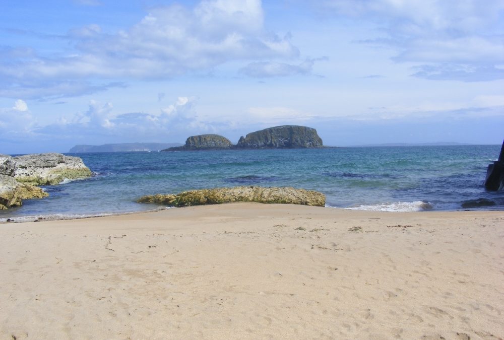
This is a very attractive spot. The harbour itself is very well maintained, made of granite stone, and is quite picturesque. Surrounding the harbour are plenty of rocks and rock pools for children to explore. There is car parking, toilets and a nice café
For the swimmers, from the car park you walk back up the road a short distance and there is an entrance which will lead you down a rough track to a small, secluded beach. This is a well sheltered spot for pick-nicking and swimming. The sand is good, the water is clear and it makes for a quiet contrast to the harbour itself which can be very busy in the summer. When the weather is good expect the car park to be full.
Not accessible for wheelchairs /buggies
Directions
View Larger Map
Ballintoy is located off the A2, which runs along the coast of Antrim, and is one of the finest roads to pass along in Ireland. Coming from Larne you pass some spectacular scenery and the lovely towns of Cushendall and Ballycastle. A few miles beyond Ballycastle a sign-posted right turn off the A2 brings you down a twisty road to Ballintoy Harbour.


