by Brian Kenny | Aug 5, 2013 | Donegal
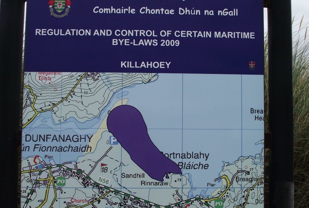
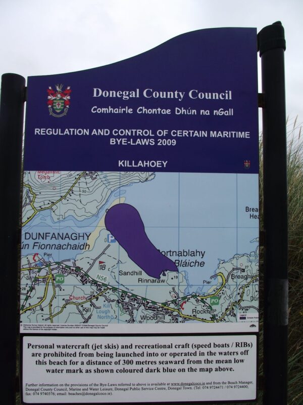
Killahoey, Dunfanaghy
August 2013
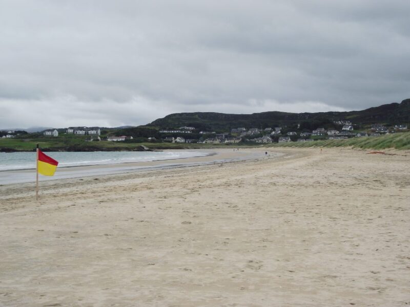
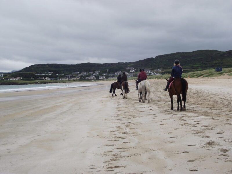
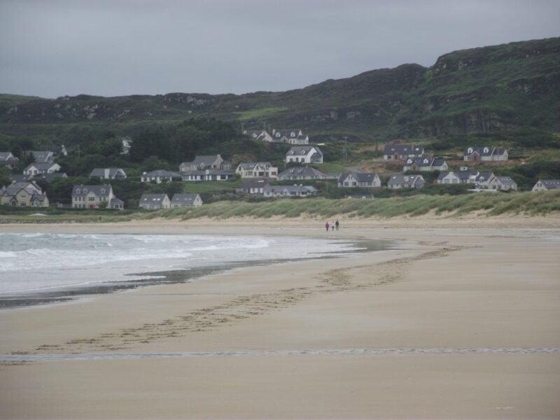
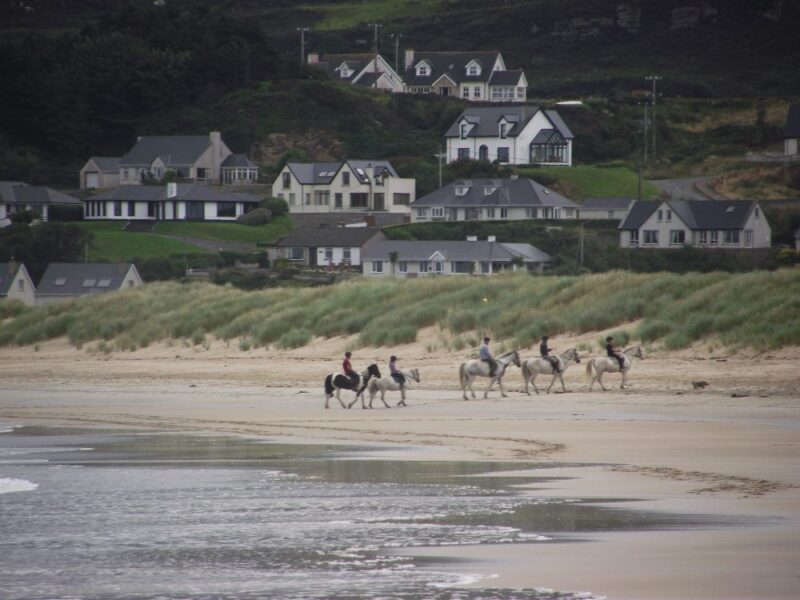
Killahoey is yet another of Donegal’s Blue Flag beaches. This one is high, wide and handsome, with lots of room for walking, playing and even horseriding.
On a dull August day we swam alone in lovely clear water. It was a bit choppy but still fine for a good swim. It was disappointing to see the beach deserted but a good swim nonetheless.
Killahoey is quite open and you are well advised to bring a windbreak if you plan to stay. There is a large car park with portable toilets. The barrier at the beach entrance blocks access for wheelchairs bur you will be able to lift a buggy over it. Lifeguards are on duty during the summer months.
View Larger Map
Directions: From Letterkenny take the N56 and just before you come into Dunfanaghy watch for a sign post for the beach. ( Why they don’t highlight that this is a Blue Flag beach escapes us).
OSI Map No. 2
by Brian Kenny | Aug 5, 2013 | Donegal
Maghera Beach, Ardaragh
August 2013
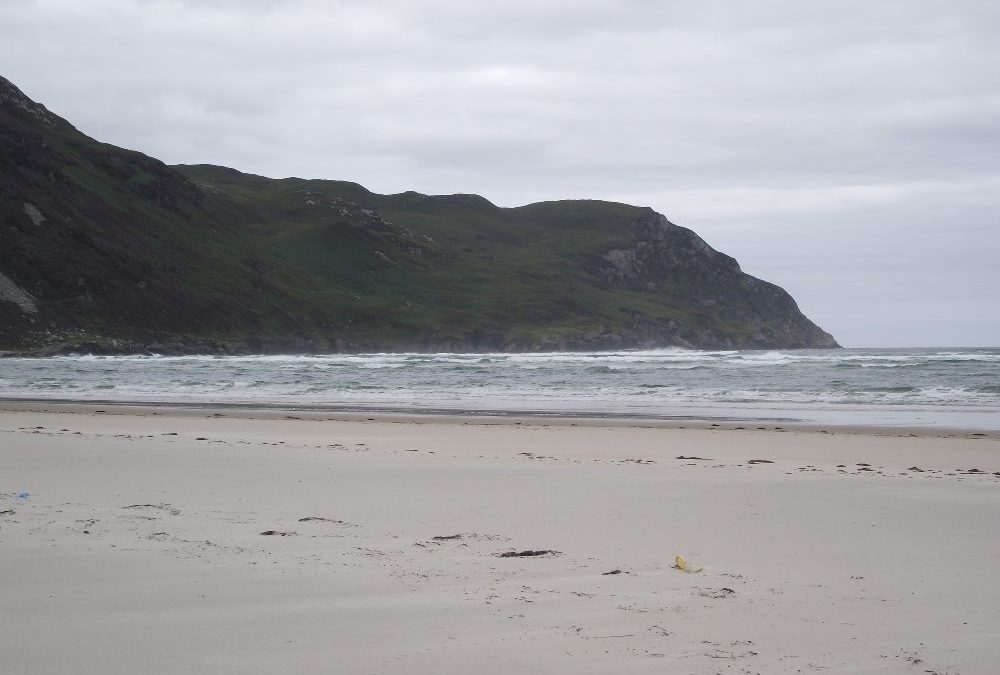
Maghera is famous for its caves but it also has an impressive beach.
Before going any further a word of warning. There aren’t any official signs warning of currents , but we were told locally that a good distance out from the shore there are currents and sandholes that make swimming dangerous. So stay close to shore and well within your depth.
Having said that we had a lovely morning swim here on an almost deserted beach. There was a gradual wade in and it was sandy underfoot. The water here was clear and refreshing. The beach itself is quite open with plenty of room for play and you will find some shelter in the dunes and along the rocks at the car park end. If you want to see the caves come at low tide so you can access them properly. ( I’m afraid we missed out).
View Larger Map
Directions: From Donegal town take the N56 to Ardaragh. About 2 kilometres before the town watch carefully for a left turn onto the L2843 for Maghera. Follow this road until you come to a car park. It is a few minutes walk to the beach , which if ok for buggies but not wheelchairs
OSI Map No. 10.


by Brian Kenny | Aug 5, 2013 | Donegal
August 2013
A little bit off the beaten track but well worth the diversion. Magheraroarty is a wide and wild expanse of beach and , on the sunny day we were there, the water was a lovely turquoise colour. The beach, although open, is sheltered by the pier at one end where the ferry to Tory island departs.
There was a gradual wade in, although it was quite bumpy and uneven underfoot. The water was clear and the view across to nearby Inishbofin island impressive. If you plan to stay bring your windbreak , although you will get shelter from the dunes at the back of the beach.
Magheraroarty has a large stony car park but, yet again, there is no wheelchair access.
View Larger Map
Directions: From Letterkenny take the N56 to Gortahork. After you pass through the village watch for a right turn onto the R257 signposted for Maghaire Ui Robartaigh. Follow this road along the coast for about 6 kilometres until you come to a right turn signposted for the ferry and the beach.
Ordnance Survey Map No. 1


by Brian Kenny | Aug 5, 2013 | Donegal
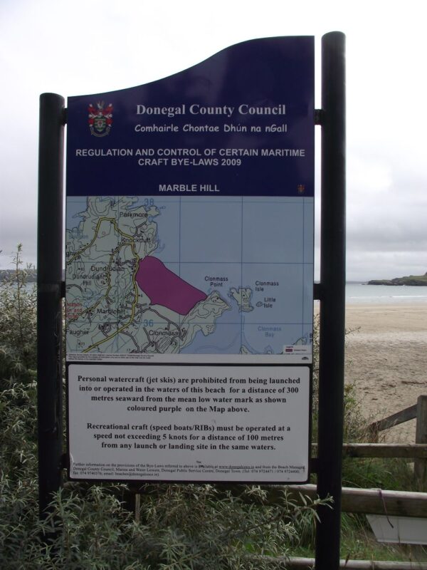
Marblehill, Dunfanaghy
August 2013
Marblehill is an attractive curved beach, nicely sheltered by the small peninsulas at either end. It is one of a number of quality Blue Flag swimming locations Donegal is lucky to have.
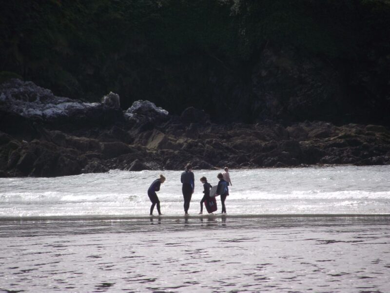
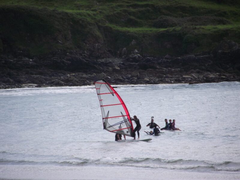
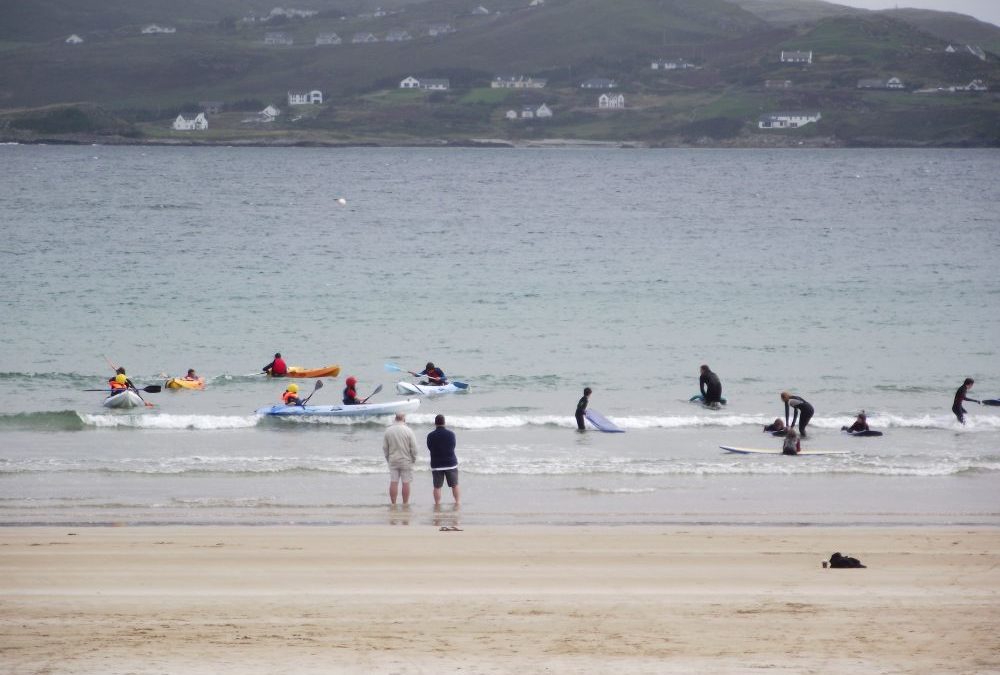
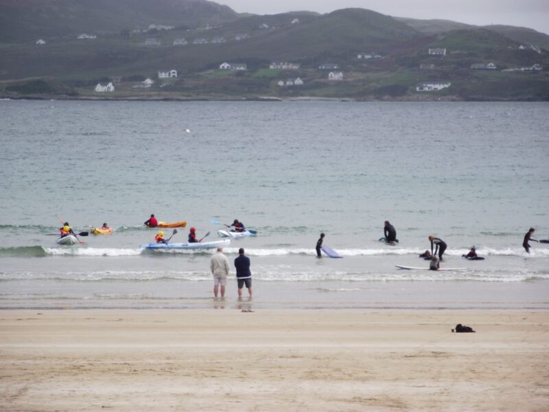
The water here is lovely and clear with soft sand underfoot. When we visited there was a bit of a breeze and some waves which the many surfers and canoeists surely enjoyed. There was a gradual wade in where we swam and the many young people in the water suggests this is a good place for families to visit.
There are steps down to the beach and there is access for wheelchairs/buggies near the shop.Lifeguards are on duty during the summer and there are toilets about 500 metres before the beach. Just at the beach there is also a shop and surf school .
All in all this is a lovely place for families to splash, swim and surf.
View Larger Map
Directions: From Letterkenny take the N56 for Dunfanaghy. About 5 kilometres after Creeslough watch out for a right turn signposted for the beach.
Ordnance Survey Map No. 2.

by Brian Kenny | Aug 5, 2013 | Donegal
August 2013
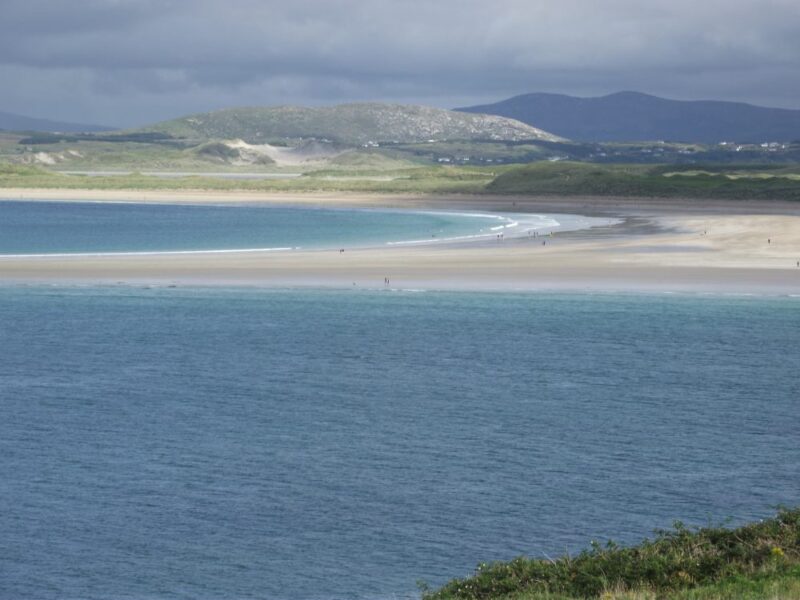
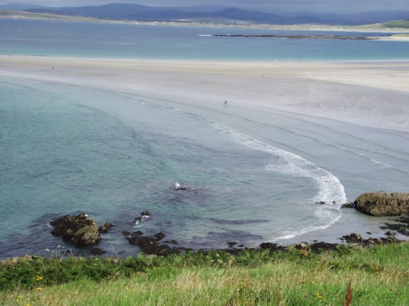
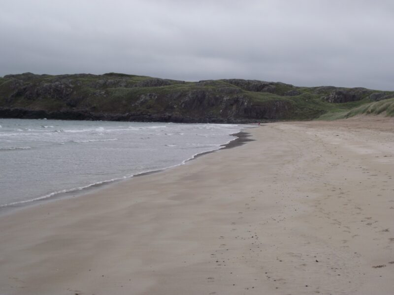
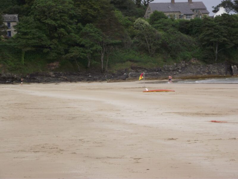
Narin (also called Tramore just to confuse us) is one of Donegal’s finest beaches and swimming spots, which is really saying something. This is a lovely place to swim, surf and walk.
The beach itself is long and curved with dunes at the back to give you some shelter. It can be quite windy here so windbreaks are in order if you plan to stay awhile. At low tide the beach divides in two and you can walk out to Inishkeel island. Just make sure you don’t get stranded by the incoming tide.
When we were there the tide was out and the water calm. We had a gradual wade in to lovely, clear water which was ideal for a decent swim. After our swim we had a refreshing walk down the beach and ended up getting in again as the water was so inviting.
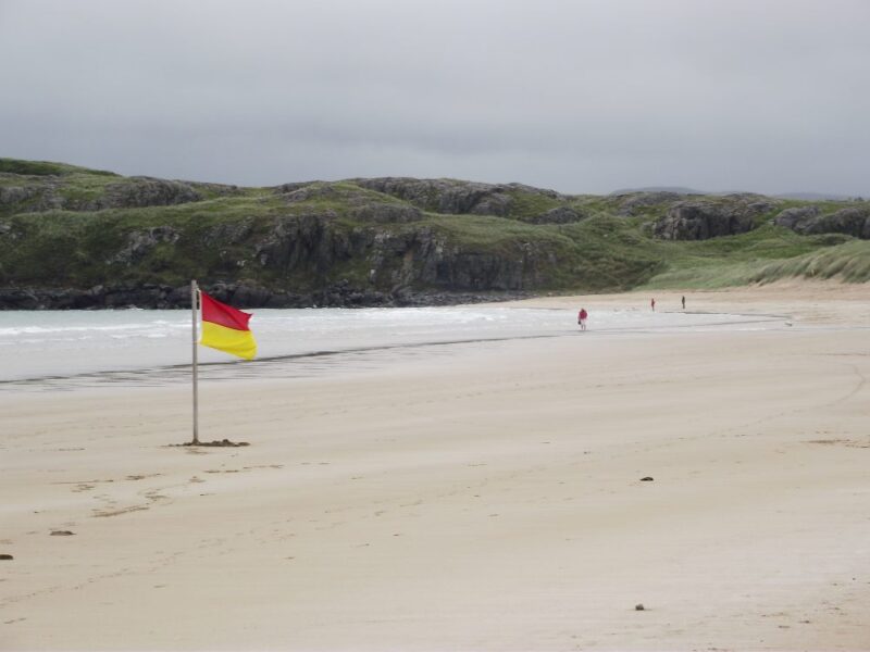
Narin is a Blue Flag beach with lifeguards in the summer. There are toilets at the decent sized car park and a coffee shop nearby. Buggy access isn’t a problem and at the far end of the car park there is a rough ramp which a wheelchair might manage with care. Why the local authorities can’t spend a few euros to do it properly is inexplicable.
All in all Narin is highly recommended.
View Larger Map
Directions: From Donegal town take the N56 to Ardaragh. As you pass through Ardaragh take the R261 signposted for Portnoo and follow the signposts to the car park.
Ordnance Survey Map No. 10
