by Brian Kenny | Jul 7, 2011 | Kilkenny, Rivers
July 2011
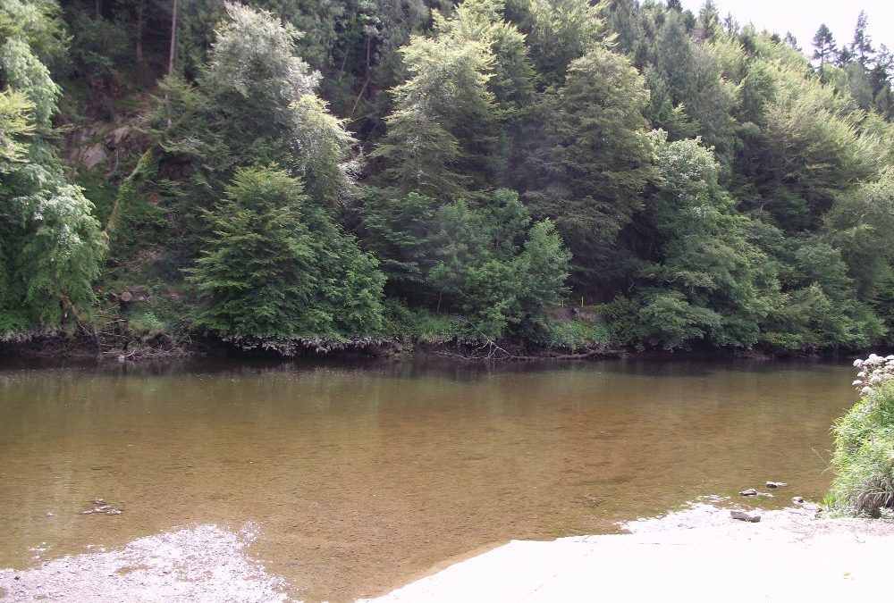
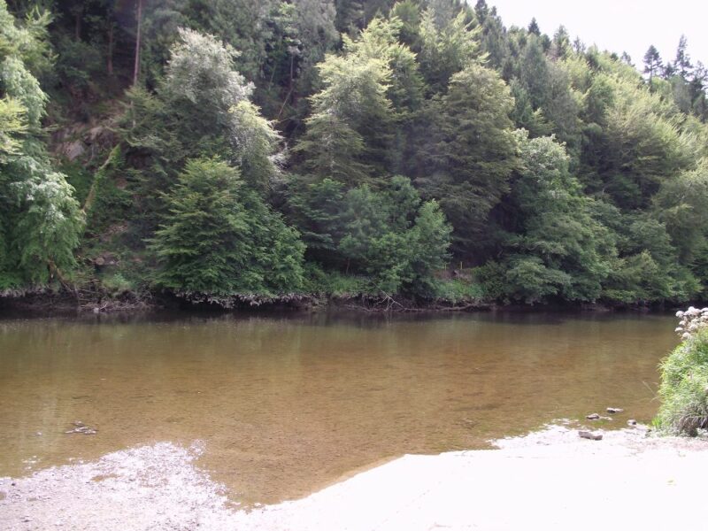
Inistioge is an attractive village on the River Nore. The swimming spot is located just outside the town. The river is tidal and when we were there it was very shallow and not attractive for swimming. We were reassured by the lifeguards that the tide comes up to a good height and you can jump in from the wall at the river’s edge.
This is a small, but attractive location. There is a car park and one picnic table.
Lifeguards are on duty during the summer.
Directions :
View Larger Map
In Inistioge take the R700 in the direction of New Ross. After you cross the bridge watch out for a sharp ( not signposted) right turn – L82831- which will bring you to the spot.
Ordnance Survey Map No. 68

by Brian Kenny | Jul 7, 2011 | Lakes, Leitrim
July 2011
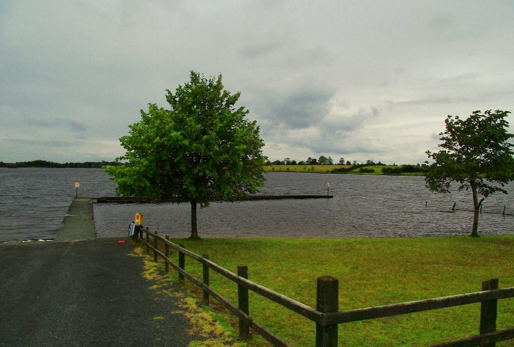
Out on its own and all the better for that. Leitrim is not renowned for swimming locations and Keeldra isn’t on the main road to anywhere, but it’s well worth the effort to find.
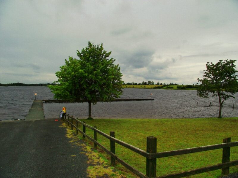
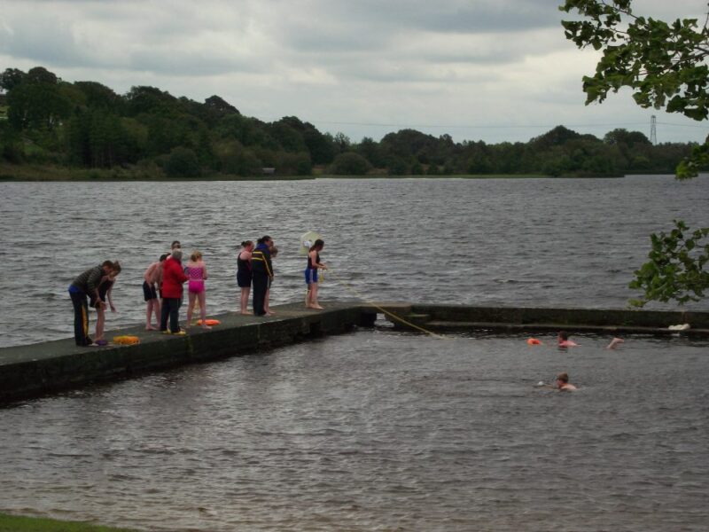
So far this is the only place we have swum in Leitrim and , hopefully, we will find more. Keeldra has a well maintained swimming area, sectioned off by a concrete walkway which creates a sheltered environment. Underfoot it is sandy and this area is not too deep. It appears to be a good place for children to swim and when we were there a water safety class was underway.
Outside this sheltered area is the lake itself but we didn’t venture that far. Keeldra is a credit to Leitrim County Council as there is a nice grassy area, picnic tables, some indoor changing areas and well kept toilets.
Directions: From the town of Mohill take the R201 for about 5 kilometres. Watch out for a right turn onto the L1566 and signposted Drumlish. After a couple of kilometres on this road you will see a left turn signposted for the lake.
View Larger Map
Ordnance Survey Maps No. 33 and 34
by Brian Kenny | Jun 6, 2011 | Cork, Lakes
Lough Hyne, West Cork
June 2011
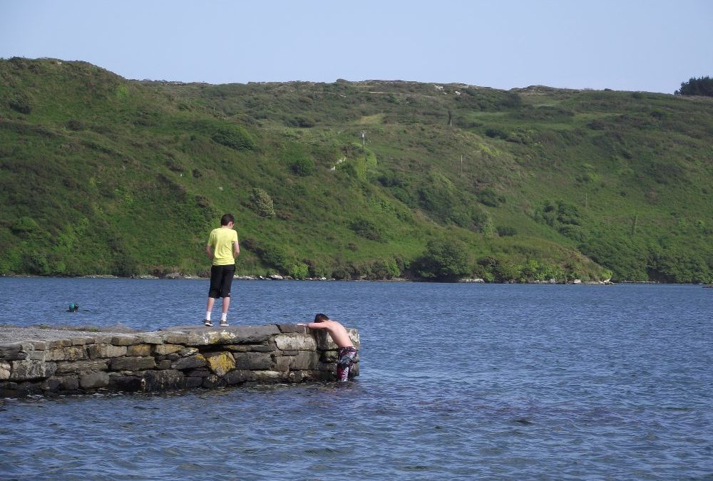
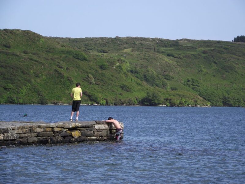
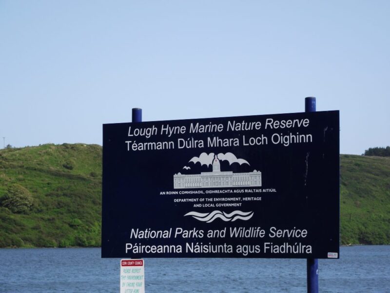
Lough Hyne is Ireland’s first marine nature reserve and a lovely place to swim into the bargain.
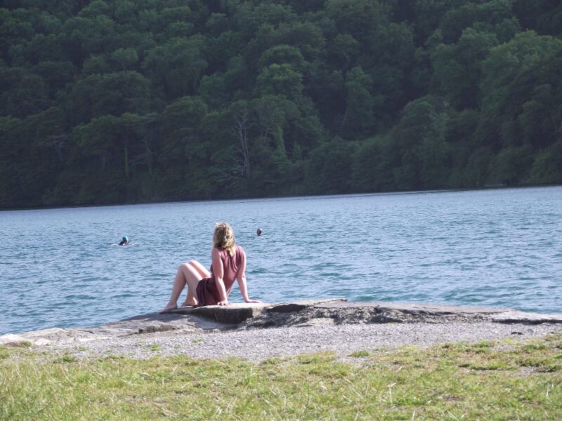
This lake is home to over 1000 underwater plant species along with a number of rare fish. The water is clear, fresh, salty and perfect for swimming. When we were there a number of wet suited swimmers were doing distance swims, so it’s clearly a place where swimmers congregate. The lake is surrounded by woodland so as you swim out into its clear waters you have a calming, tranquil view.
Access to the water is via a slipway or you can get in off a low wall.
There are places to park across from the lake along with a couple of picnic tables.
View Larger Map;
Directions:
From Skibbereen take the R595 toward Baltimore and after a few kilometres watch out for a left turn signposted for Lough Hyne
Ordnance Survey Map No; 89
by Brian Kenny | Jun 6, 2011 | Cork
June 2011
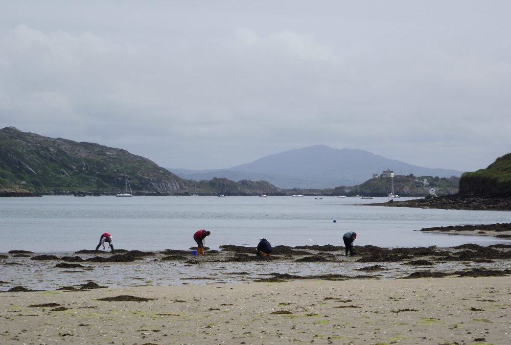
If you want to swim here make sure you check the tides first. We didn’t, and ended up arriving at low tide to see a vast expanse of not very white sand, and not a lot of water. We had to content ourselves with looking at the sea in the distance, rather than plunging into it.
However, this is a fine wide beach with lots of room for kids to play. It is quite open and there isn’t much shelter, so bring a windbreak if you can. The water looks nice and clear and we are only sorry we didn’t get to sample it at first hand.
View Larger Map
Directions
From Bantry take the N 71 toward Skibbereen and then the R591 right turn signposted for Mizen Head. You stay on this road all the way through Goleen until you come to sharp bend on the road with a signpost for Crookhaven . You will then see the beach on your left hand side.
Parking appears to be on the side of the road.
Ordnance Survey Map No. 88

by Brian Kenny | Jun 6, 2011 | Cork
Jarley’s Cove, Kinsale
June 2011
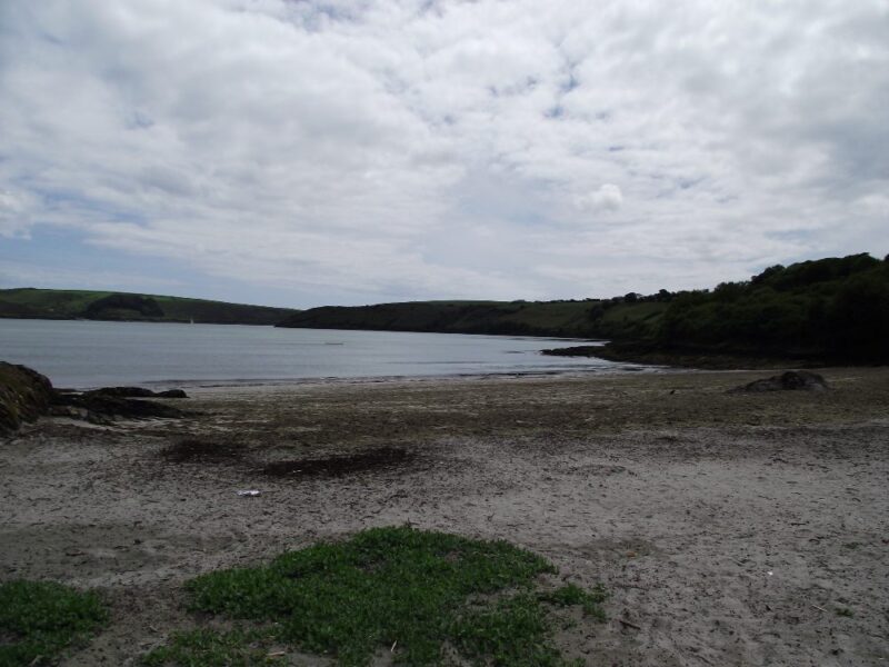
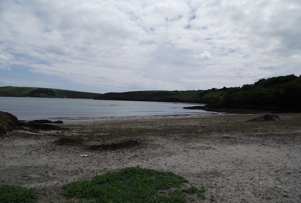
Jarleys Cove is a small beach located just a couple of kilometres outside Kinsale town. When we visited the tide was out and we didn’t see it at its best. The beach was covered with scruffy seaweed and looked the worse for wear.
However, even at low tide there is good depth to the water which is well sheltered and calm. The water doesn’t have the clarity of the beaches further west, but this is still a handy place for a swim. Rocks at either end will give you added shelter.
From the small and rough car park there is a tarmacadem path to the beach which gives both wheelchair and buggy access. Well done Cork County Council.
View Larger Map
Directions:
From Kinsale take the R600 signposted for Ballinspittle and Old Head. After a kilometre you cross a bridge and then take the immediate left turn. A further kilometre on this road leads you to the cove.
Ordnance Survey Map No; 87
