by Brian Kenny | Jun 6, 2011 | Cork
June 2011
If you want to swim here make sure you check the tides first. We didn’t, and ended up arriving at low tide to see a vast expanse of not very white sand, and not a lot of water. We had to content ourselves with looking at the sea in the distance, rather than plunging into it.
However, this is a fine wide beach with lots of room for kids to play. It is quite open and there isn’t much shelter, so bring a windbreak if you can. The water looks nice and clear and we are only sorry we didn’t get to sample it at first hand.
View Larger Map
Directions
From Bantry take the N 71 toward Skibbereen and then the R591 right turn signposted for Mizen Head. You stay on this road all the way through Goleen until you come to sharp bend on the road with a signpost for Crookhaven . You will then see the beach on your left hand side.
Parking appears to be on the side of the road.
Ordnance Survey Map No. 88

by Brian Kenny | Jun 6, 2011 | Cork
June 2011
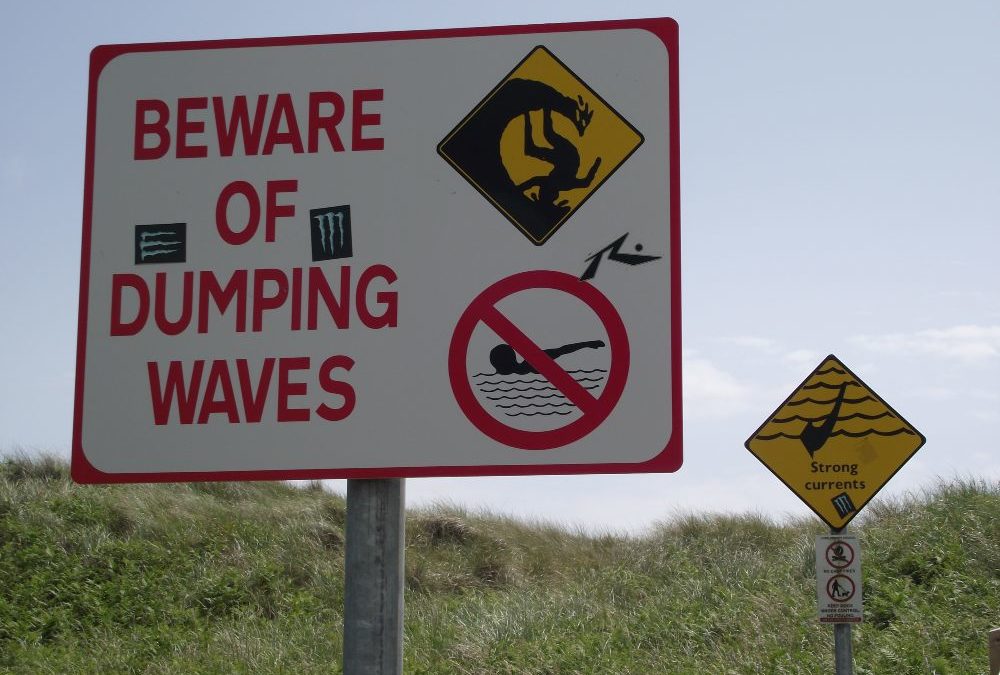
Owenahincha is a fine expanse of beach, with plenty of room to walk, run, play and swim. Just round the corner is The Long Strand which is good for walking but dangerous for swimming. Take notice of the signs which warn of Rip Currents and Dumping in Waves.
When we were there in June there were strong winds and waves which made swimming difficult. However, if that’s your thing then Owenahincha will suit you. There are some rocks for shelter, but the beach can be quite exposed, depending on the direction of the wind.
Blue Flag beach 2012.
Lifeguards are on duty during the summer months.
There are portaloos located near to the road. There is a car park which gives you access across a rough path to The Long Strand and then you will need to walk to Owenahincha. You can also park roadside nearer to the beach, where there is a small pathway to the strand. It isn’t wheelchair accessible, but you will manage a buggy.
View Larger Map
Directions:
From Cork you travel on the N71 and pass through Clonakilty. Then watch out for a left turn signposted Owenahinca
Ordnance Survey Map No: 89


by Brian Kenny | Jun 6, 2011 | Cork
June 2011
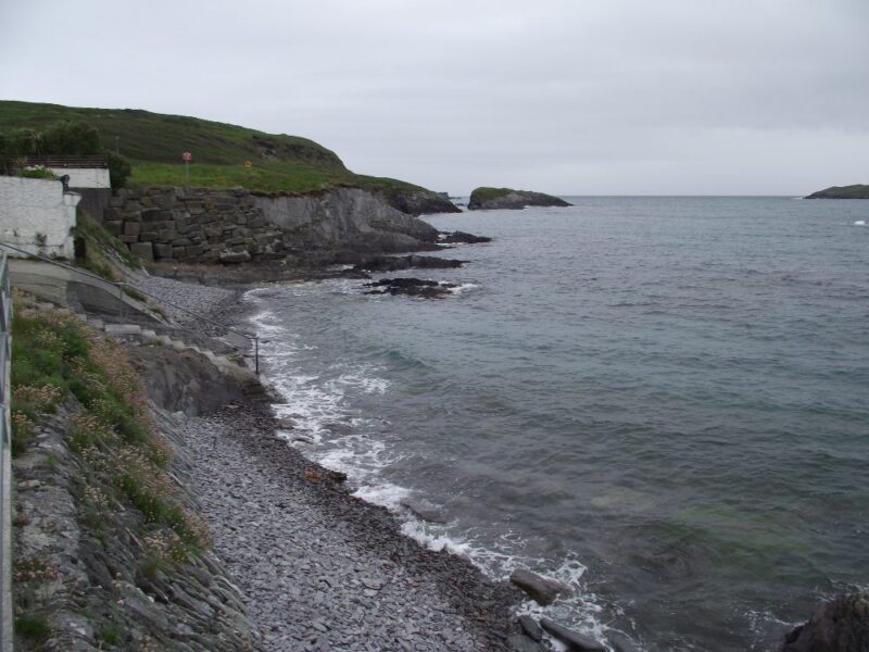
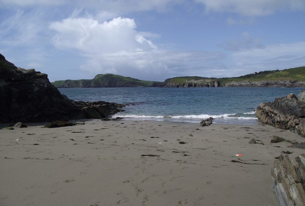
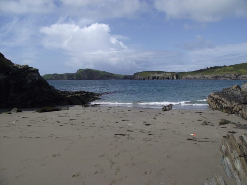
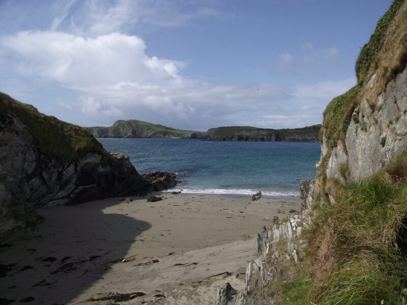
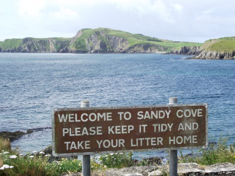
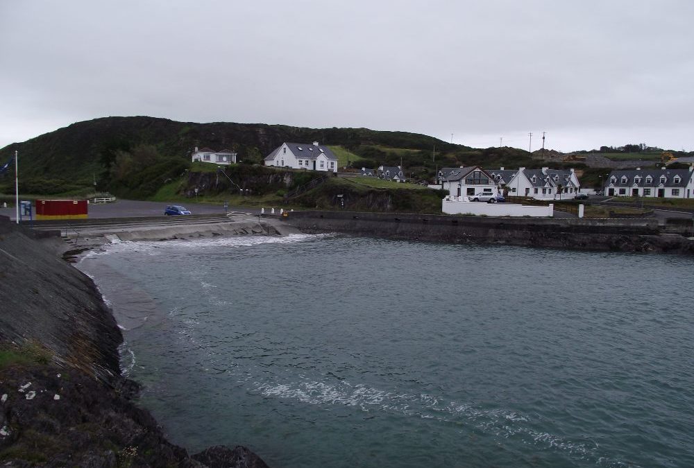
Well it’s definitely sandy and it’s also a cove, and it’s also about the same size as a large beach towel. Well maybe a bit bigger.
Sandycove is an attractive little cove, sheltered by high cliffs. We were there at low tide and you would want to time your visit as the beach must be completely covered when the tide is in.
The water here is fresh and with a good depth. Even at low tide we were quickly out of our depth, so be careful. There are lovely views across the bay to the impressive cliffs on the far side.
All in all a nice place to swim, but watch the tides and the crowds.
There are steep steps down to the cove so it’s not wheelchair accessible and you will be carrying babies and buggies.
There is a small space for parking cars but no proper car park
View Larger Map
Directions :
Outside Castletownshend watch out for a signpost for Tragumna. After about 3 kilometres look out for a left turn signposted ‘Trà’ , which will bring you to the cove.
Ordnance Survey Map No: 89
by Brian Kenny | Jun 6, 2011 | Cork, Lakes
Lough Hyne, West Cork
June 2011
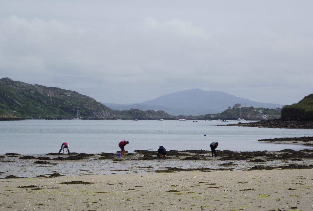
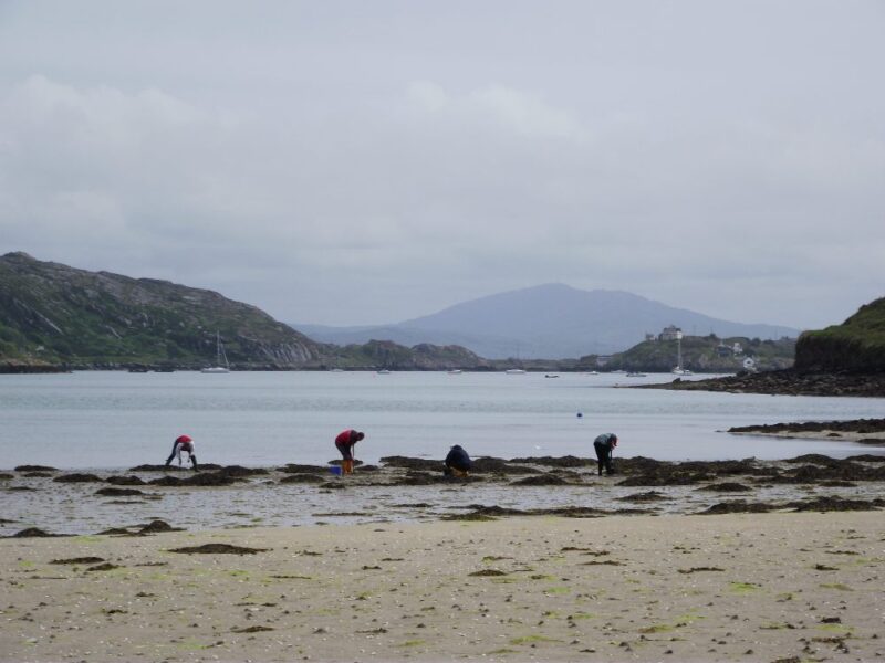
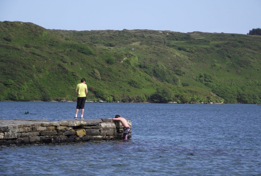
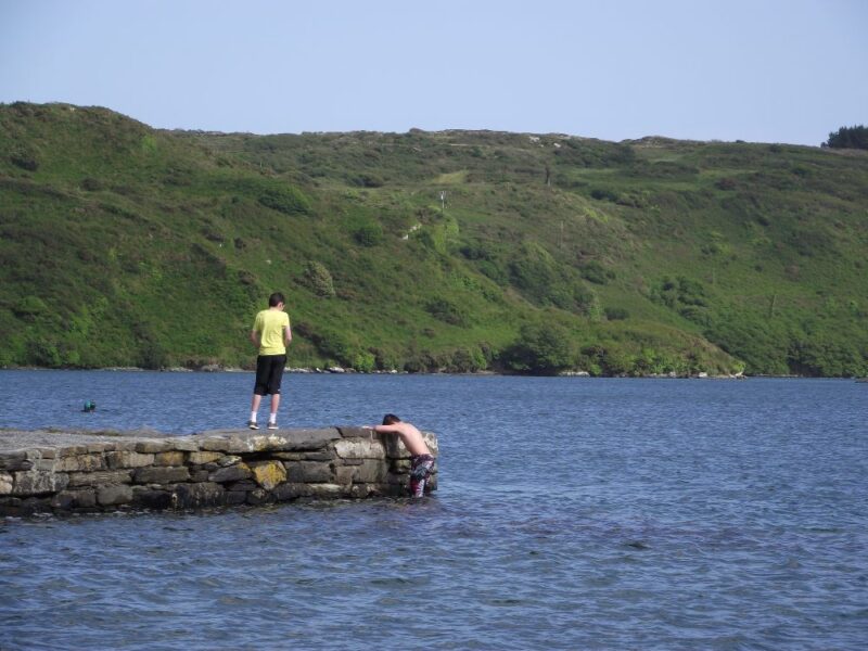
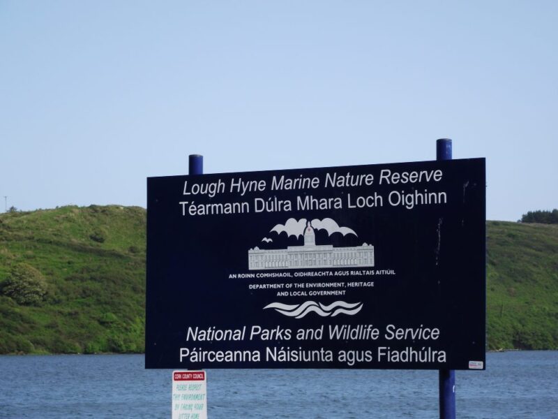
Lough Hyne is Ireland’s first marine nature reserve and a lovely place to swim into the bargain.
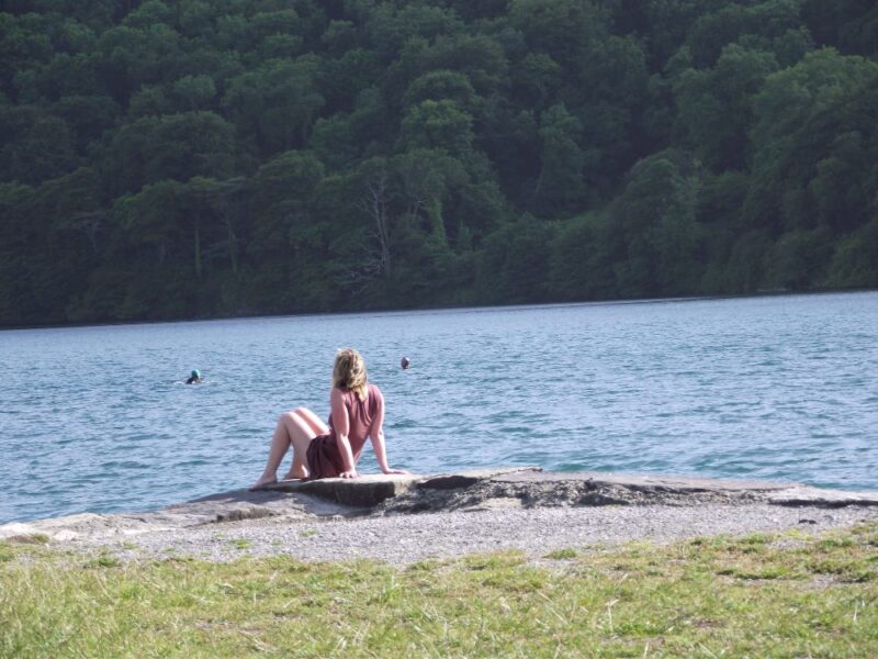
This lake is home to over 1000 underwater plant species along with a number of rare fish. The water is clear, fresh, salty and perfect for swimming. When we were there a number of wet suited swimmers were doing distance swims, so it’s clearly a place where swimmers congregate. The lake is surrounded by woodland so as you swim out into its clear waters you have a calming, tranquil view.
Access to the water is via a slipway or you can get in off a low wall.
There are places to park across from the lake along with a couple of picnic tables.
View Larger Map;
Directions:
From Skibbereen take the R595 toward Baltimore and after a few kilometres watch out for a left turn signposted for Lough Hyne
Ordnance Survey Map No; 89
by Brian Kenny | Jun 6, 2011 | Cork
June 2011
If it’s a beach you are looking for then don’t visit Tragumna at full tide. When we arrived the tide was in and the beach was gone.
Still if it’s a swim you want then this is a good spot. Tragumna is a small channel like area, located in Tragumna Bay, which is reasonably well sheltered. The water is fresh and you are quickly into your depth when the tide is in. Along the road side there are other places where people appear to swim from. However, do take notice of the ‘No Diving’ signs.
Blue Flag beach 2012.
Check with Cork County Council regarding lifeguard times.
There is a good sized car park, toilets and an indoor changing area.
View Larger Map
Directions:
From Skibbereen take the R596 toward Castletownshend. After a few kilometres you will see a right turn signposted for Tragumna. Follow this and other signposts which will lead you directly to the beach.
Ordnance Survey Map No. 89