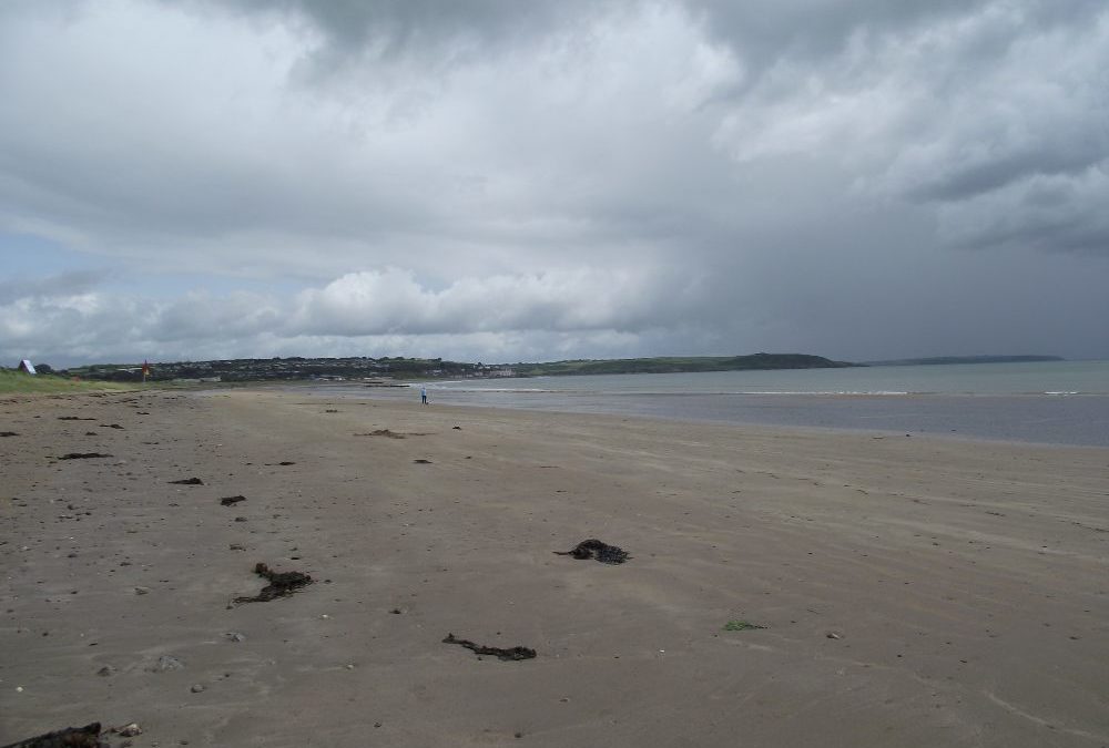
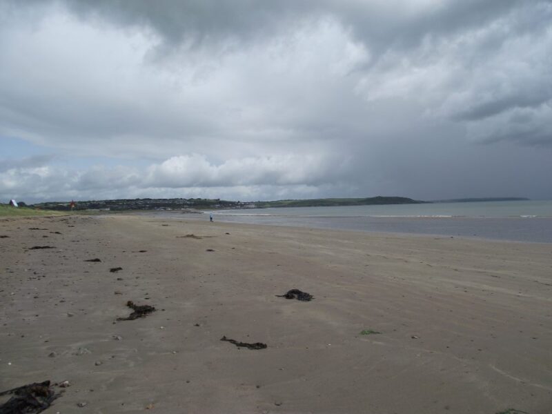
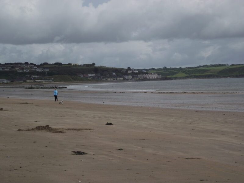
Redbarn is a classic holiday beach- long , open and somewhat windswept. When we were there it was low tide. The water was calm but it was a bit of walk in to have a swim. Still, this is a good family beach, with lots of room for walking and playing. As it is quite open a windbreak will come in very handy
The beach is long and stretches all the way to Youghal which is a couple of kilometres away. So if you are looking for a place to run as well as swim, this is a good spot.
Lifeguards are on duty in the summer and there are public toilets. There is also a hotel and campsite just as you come to the beach. One big drawback, in the absence of a car park, is that parking cars is allowed on a section of the beach. Blue Flag beach .
From Youghal take the R634 toward Killeagh and the N25. After a couple of kilometres you come to a left turn onto the R633 and signposted Redbarn. After another 2/3 kilometres you will come to another left turn signposted for the beach.
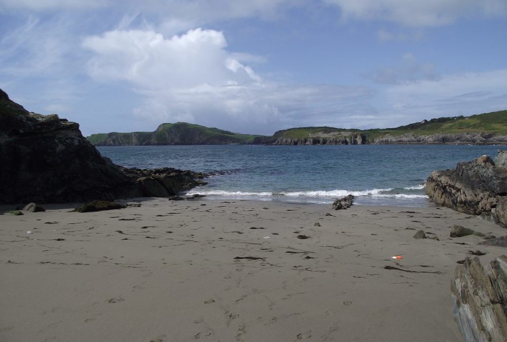
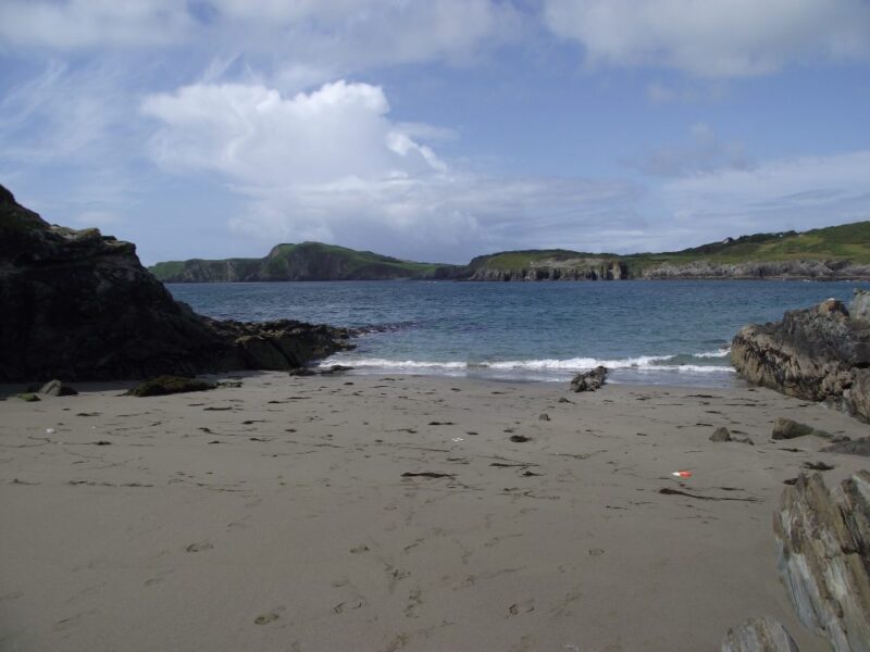
Well it’s definitely sandy and it’s also a cove, and it’s also about the same size as a large beach towel. Well maybe a bit bigger.
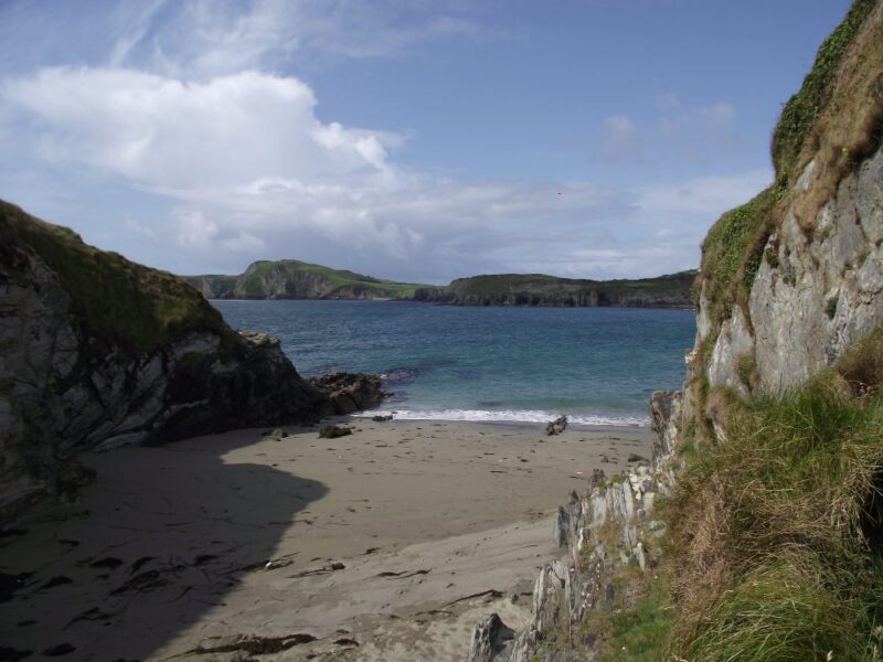
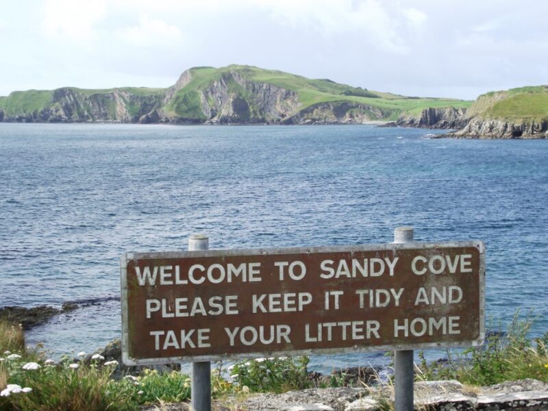
Sandycove is an attractive little cove, sheltered by high cliffs. We were there at low tide and you would want to time your visit as the beach must be completely covered when the tide is in.
The water here is fresh and with a good depth. Even at low tide we were quickly out of our depth, so be careful. There are lovely views across the bay to the impressive cliffs on the far side.
All in all a nice place to swim, but watch the tides and the crowds.
There are steep steps down to the cove so it’s not wheelchair accessible and you will be carrying babies and buggies.
There is a small space for parking cars but no proper car park
Outside Castletownshend watch out for a signpost for Tragumna. After about 3 kilometres look out for a left turn signposted ‘Trà’ , which will bring you to the cove.
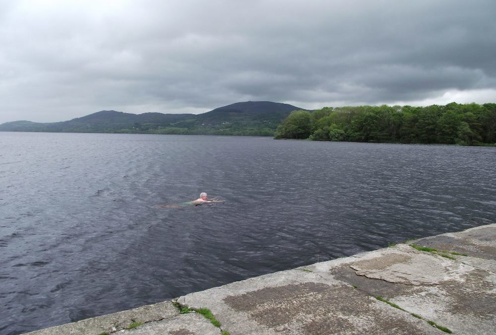
Lough Derg is one of the most attractive lakes in the country, large and with a varied shore line. The swimming spot, about 5 kilometres outside Killaloe, is a lovely place to visit .
This is a well kept area with lots of grass and a number of seats and picnic tables. You can access the water from a small sandy beach , where the water is quite shallow and good for children to play in. For swimmers you need to wade out from here into your depth. Alternatively, you can get in from the slipway to the side where the water is deeper. Whichever way you go, please remember to be careful of hidden rocks.
As well as having a swim there is plenty of room to picnic and a forest area with short walks. Toilets are located nearby
The water here is soft and dark and the views across the lake as you swim are most impressive. Unfortunately, there are signs warning you of algae in the summer months so do be careful.
From the M7 take exit 27 and get onto the R494 for Killaloe. From there you take the R463 signposted Tuamgraney. The swimming spot is located about 5kms from Killaloe and you will know it by the good sized car parking area at the roadside on the right hand side.
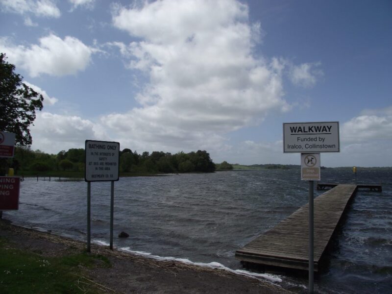
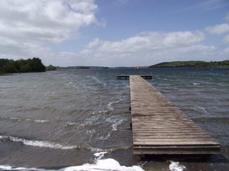
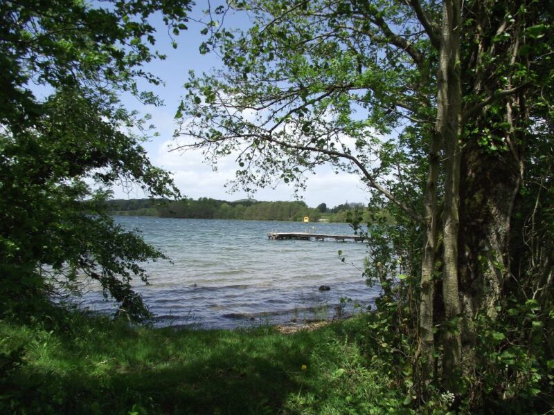
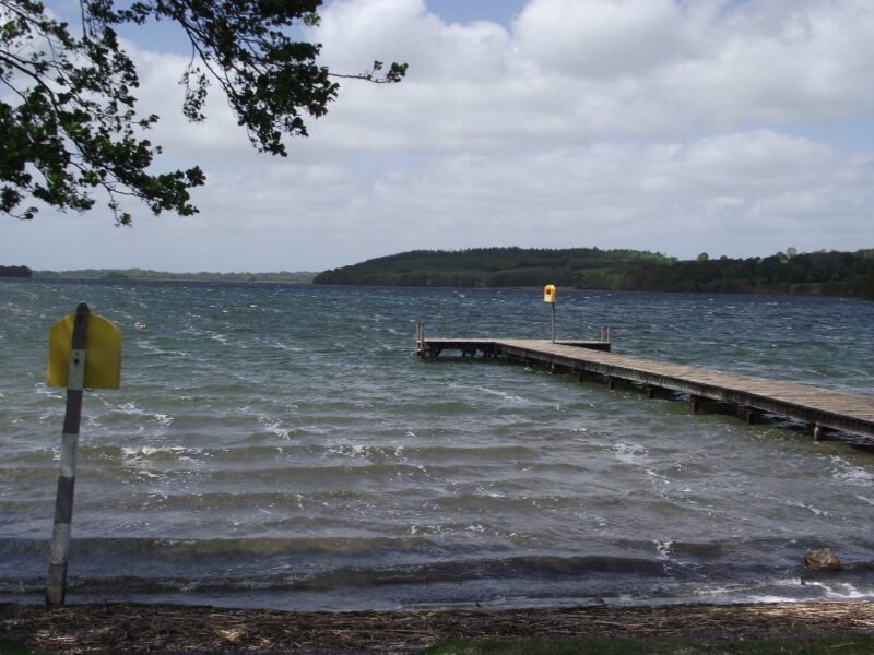
Lough Lene is a very attractive and well maintained place to have a swim.
Across the road from a good sized car park you pass through a gateway into a well kept area of the lake with a distinct swimming section. There is a nice grassy area to picnic along with some benches, toilets and a small indoor changing room.
The swimming area has a board walk out onto the lake with ladders which brings you into your depth. Somewhat unusually for a lake, the water here is quite clear and the bottom sandy .
This is a lovely place to swim and its well maintained appearance is a credit to Westmeath County Council.
Directions
From Dublin you take the M4 toward Mullingar . You leave this at exit 11 and get onto the R394 toward Castlepollard. After the village of Crookedwood you take a right turn for Collinstown. In Collinstown you follow the signposts for the lake which is 3 kilometres outside the town.
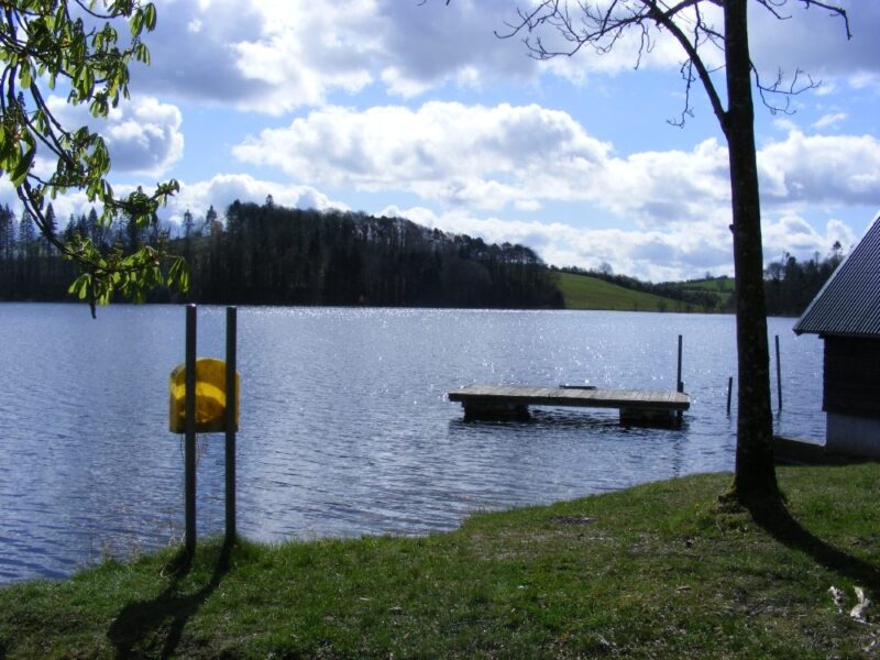
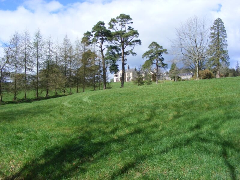
Don’t even think of trying to find this lake without a map, compass or sat-nav, preferably all three. The lake is located in the grounds of the Tyrone Guthrie Centre, a retreat where artists can come and stay and work on their artistic creations. Obviously the artistic community are a resourceful lot because there isn’t much in the way of signposts, certainly none when you come on the R183 between Ballybay and Newbliss.
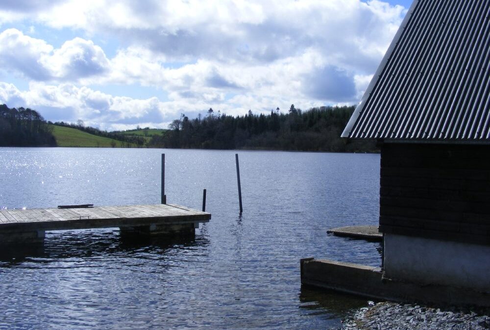
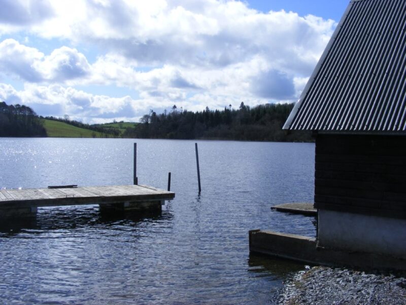
However, when you do find it Annamakerrig is a lovely tranquil place. You can combine your swim with walks along the lake shore, through attractive forests.
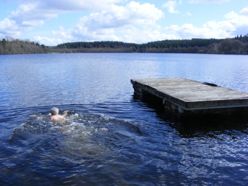
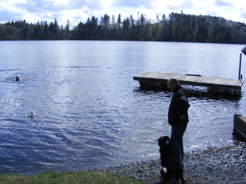
The best place to swim appears to be at the old boat house down from the main house. There is a grassy area here and you can get in along the side of the boat house. The water is fresh and cool and there are attractive views as you look across to the forests on the far side.
Like all lakes you need to be careful. Swim slowly and beware of submerged rocks.
This is a popular fishing lake as well, so on occasion you might be competing with the angling fraternity.
Take the R183 from Ballybay toward Newbliss. After you go through the Swans Cross roundabout/junction the turn off for the lake is about 3-4 kilometres further on. However, as there doesn’t appear to be a signpost you will need a map or maybe just ask for directions.