September 2009
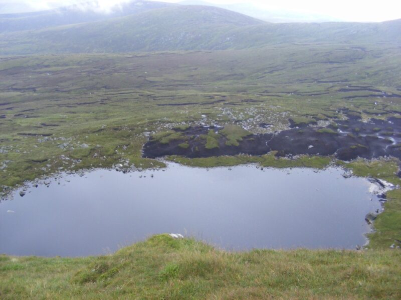
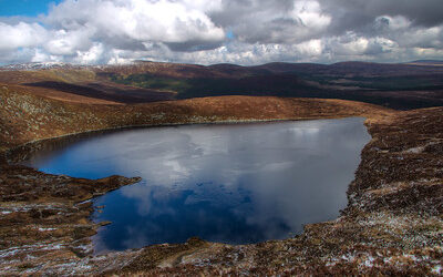
Serious walkers only need apply. Cleevaun Lough is a corrie lake set at the foot of Wiclow’s 849 metres high Mullaghcleevaun Mountain. This one is not for the fainthearted.
The lake can be approached from a few different directions but whichever way you go requires at least a two hour hike. So this is only for experienced and well equipped hikers and, indeed, experienced swimmers.
However, if you get there it’s well worth the effort. Set at the base of impressive Mullaghcleevaun, Cleevaun Lough is surrounded by the mountains of Duff Hill, Gravale and Carrigvore which stretch back to the Sally Gap.
The lake’s waters are dark, clear and refreshing. As always this and any other lake has to be treated carefully as you can’t see the bottom or its submerged rocks. Don’t swim here alone.
This is a lovely spot for a swim, sunbathing and a picnic. If you see anyone else while you are there, count yourself lucky (or unlucky as the case may be).
Directions
Firstly, you need Ordinance Survey Map 56 to find your way across the mountains. From Dublin the best route is to take the R115 Military Road and head for the Sally Gap. From the Gap you stay on the Military Road and after a few kilometres s there is a small parking area, marked on Map 56.
From here you have a good, strong walk across four peaks and you can descend to the lake from Mullaghcleevaun East Top or Mullaghcleevaun itself.
Be warned that there is a steep descent to the lake which needs to be negotiated slowly and carefully.


Be aware that if swimming of the beach, on the north end the bottom turns to deep mud very quickly