June 2011
Sheep’s Head is a lovely peninsula in West Cork, but it isn’t so good for swimming. In a day long tour we didn’t find any decent beaches and had to make do with swimming from piers in what were small, attractive harbours. Here are three of the best .
Kilcrohane Pier
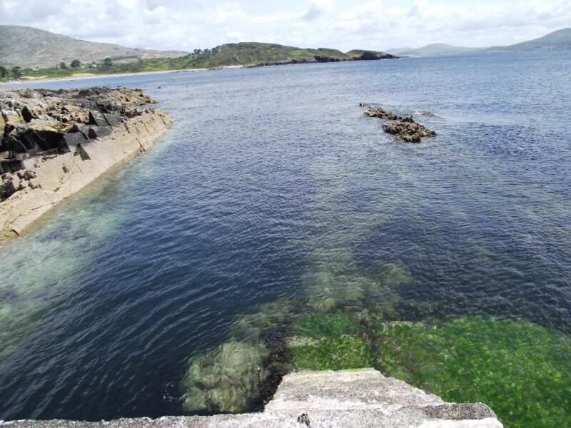
Just outside the village of Kilcrohane is a small , sheltered harbour. Access to the water can be got from either side of the pier. The water here is clear, sharp and of good depth. As you swim you will have good views across Dunmanus Bay.
There is a small area to park cars and one picnic table and one bench. So get there early.
Directions
From Bantry take the N71 toward Skibbereen. Not far outside the town take a right turn onto the R571 signposted Durrus. At Durrus take the road signposted for Ahakista and Kilcrohane. When you go through the village of Kilcrohane watch out for a left turn signposted for the Pier.
Ordnance Survey Map No. 88
Ruaim Harbour
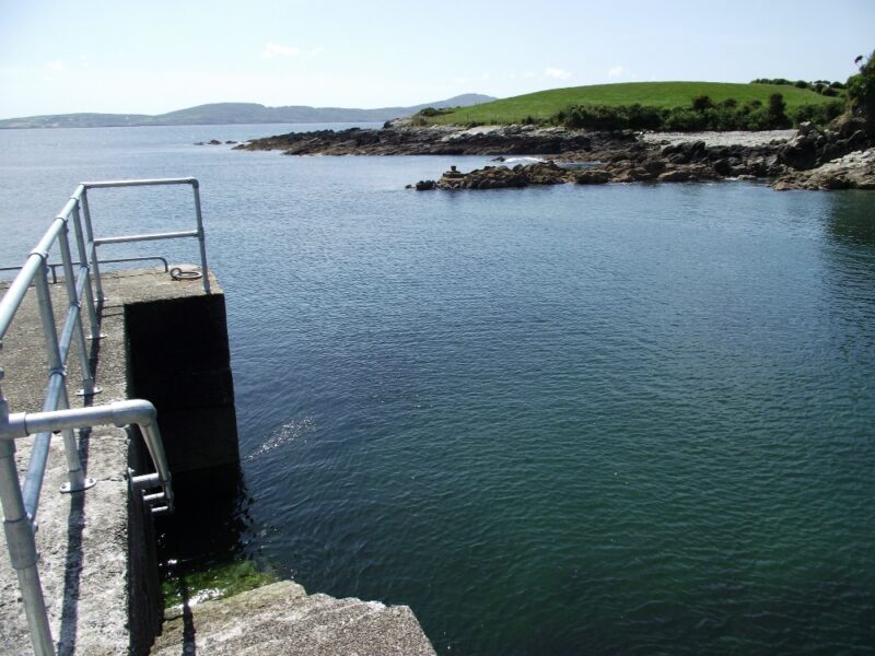
A few kilometres past Kilcrohane is another pier, this time at Ruaim Harbour. Here the water was choppier as the harbour is less well protected. Access to the water is via the stone steps and again the water is lovely and clear and very fresh.
The road to the harbour is very twisty and rough and there is a small, equally rough car park when you get there.
Directions
As above , but you travel a few kilometres beyond Kilcrohane and watch out for a left turn signposted for Ruaim.
Ordnance Survey Map No. 88
Trà Cluais – Gortnakilla Pier
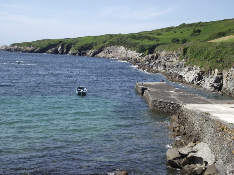
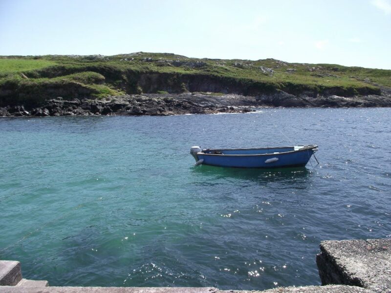
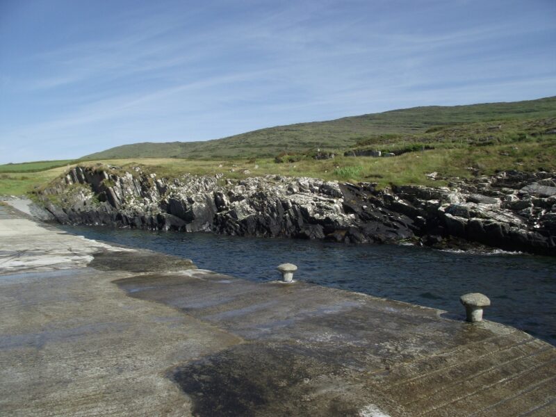
If you want to get away from it all then this might be the place for you . Located on the far side of the peninsula to Kilcrohane, Gortnakilla is quite remote. This is a narrow inlet harbour, with steps and a slipway giving access to the harbour. When we were there the water was choppy, but lovely and refreshing to swim in .
Directions
From Bantry take the N 71 for Skibbereen. Just outside the town take the right turn signposted for Sheep’s Head. Keep on this road passing through the village of Gerahies. After this watch out for a right turn signposted for the harbour.
Ordnance Survey Map No. 88

Tell us about your experience
We would love to hear your stories and memories from your visit to this spot. Whether it was a peaceful day soaking in the views or an adventurous outing braving the wild waters for a swim or a dip, your insights can inspire others.
Share your favourite moments, tips for navigating the currents, or even the best times to visit. Your experience matters to us and can help fellow outdoor swimmers discover the beauty of this hidden gem.
0 Comments