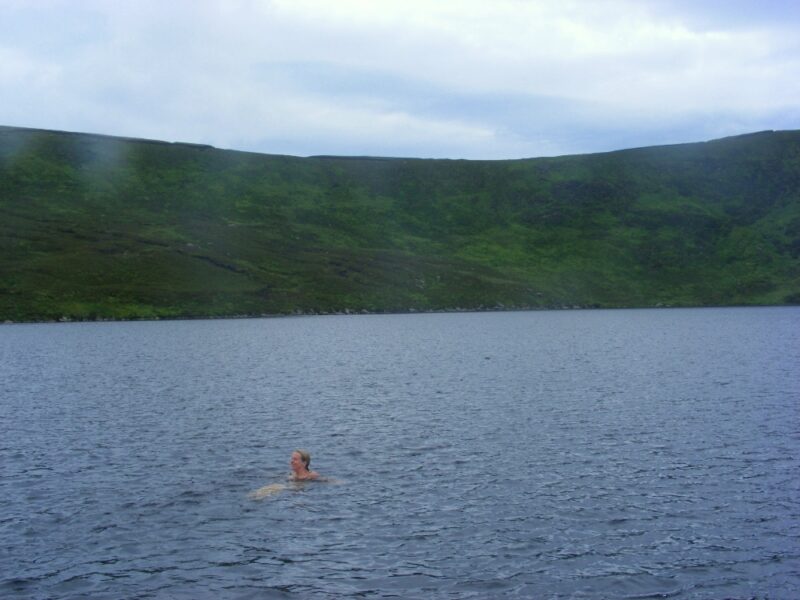
Sometimes the best swimming places take an effort to get to, and this is one of them.
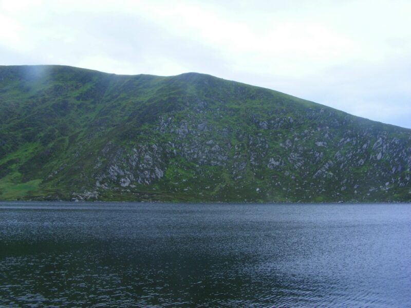
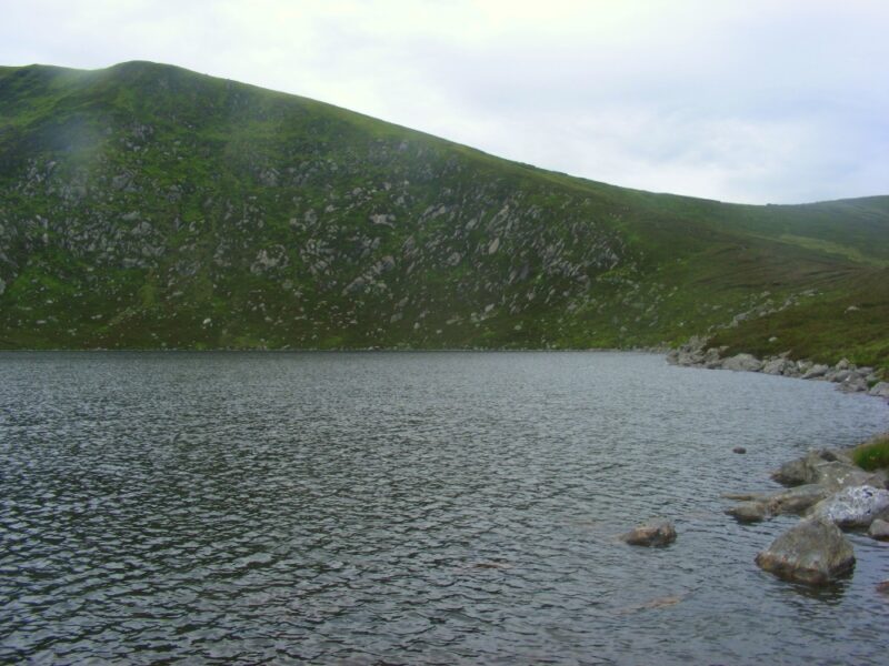
Lough Ouler is a corrie lake at the base of Tonelagee, one of Wicklow’s most imposing mountains. From the road it’s a good 45- 55 minute walk uphill and with a fair bit of effort involved.
The rewards are worth the effort, however, and as you come over the brow of the hill the lake appears dramatically, quiet and shining, nestling at the foot of this impressive mountain. The water is dark but fresh. As for all lakes you need to be extra careful and look out for submerged rocks. We got in from the rocks on the right hand side.
Not too many people swim here but this is a well used route for walkers heading up the mountain. Skinny dippers be warned.
Directions
From Dublin take the R115 Military Road and head for the Sally Gap. From the Gap you keep on the R115 and drive on until you come to a large car park at Glenmacnass waterfall.
From here it is best to walk back up the road you drove on for about 15-20 minutes until you come to a small forest on your left hand side. Before the forest you will see a rough track which you follow down to the river. Having found your way across you head upward taking the right hand side of the stream. With a bit of searching you should find a worn track which will lead you uphill to the lake.
Ordnance Survey Discovery Series Map No. 56
Tell us about your experience
We would love to hear your stories and memories from your visit to this spot. Whether it was a peaceful day soaking in the views or an adventurous outing braving the wild waters for a swim or a dip, your insights can inspire others.
Share your favourite moments, tips for navigating the currents, or even the best times to visit. Your experience matters to us and can help fellow outdoor swimmers discover the beauty of this hidden gem.
0 Comments